NOAA
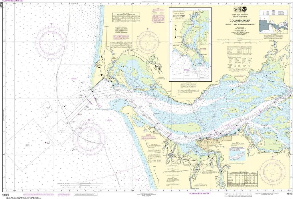
Columbia River Ocean Entrance & Ilwaco Harbor Nautical Chart #18521
Columbia River Ocean Entrance & Ilwaco Harbor Nautical Chart #18521
Couldn't load pickup availability
Share
Covering the Columbia River entrance, Ilwaco Harbor, Cape Disappointment, Baker Bay, the North Jetty, South Jetty, and surrounding coastal waters, this detailed nautical chart showcases one of America's most fascinating maritime regions. Printed at a scale of 1:40,000 and measuring an impressive 49" x 33", it's packed with soundings, navigation aids, shoreline features, channels, and coastal details that captivate boaters, anglers, historians, and map collectors alike.
The area is famously home to the treacherous Columbia Bar—often called the "Graveyard of the Pacific"—where countless vessels met their fate, making it one of North America's most significant maritime landmarks.
(View more detail in nautical chart viewer)
Please note: For decorative and reference purposes only, NOAA has officially sunset traditional paper nautical charts. These legacy charts are no longer updated or approved for primary navigation.
SKU: SKU:NOS18521
View full details