National Geographic
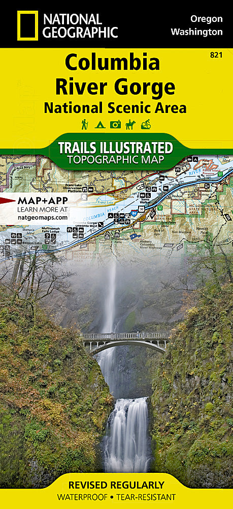
Columbia River Gorge Trails Illustrated Topographic Map #821
Columbia River Gorge Trails Illustrated Topographic Map #821
Couldn't load pickup availability
Share
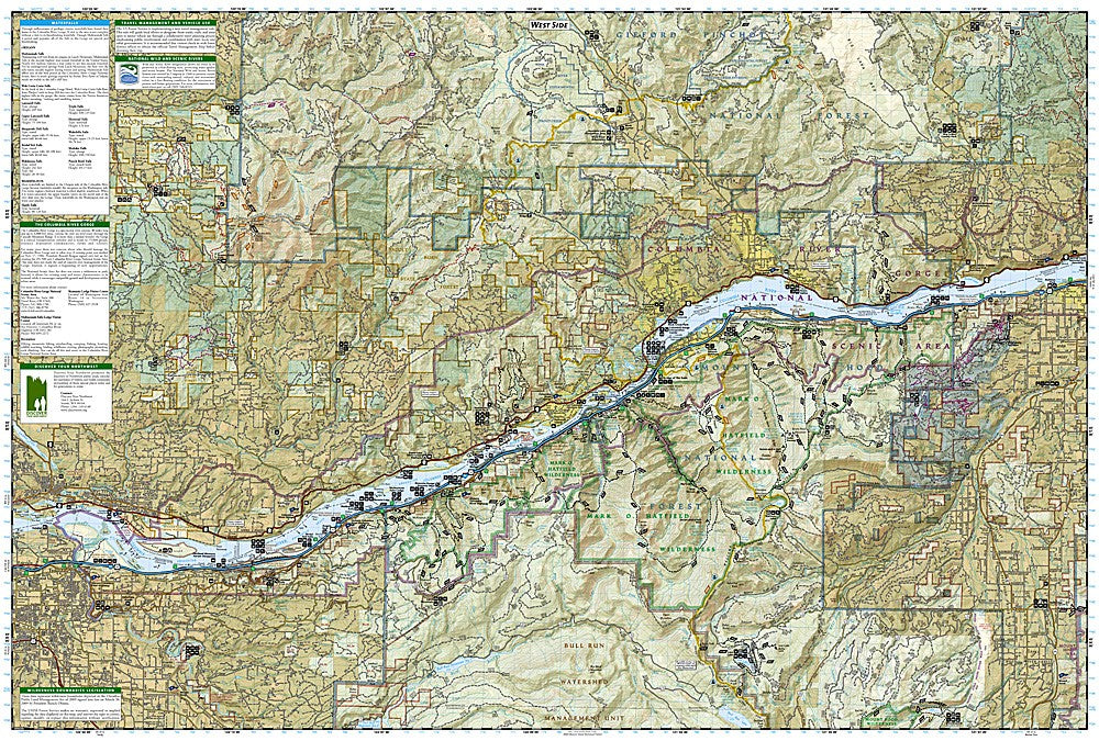
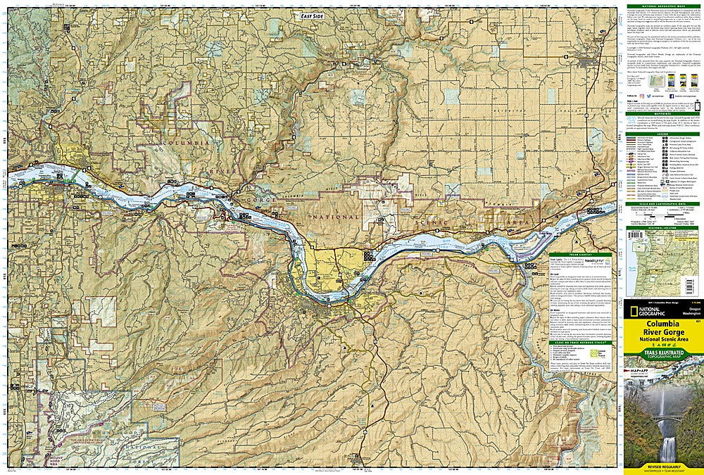
Discover one of the Pacific Northwest’s most breathtaking landscapes with the Columbia River Gorge Trails Illustrated Topographic Map #821 by National Geographic. Stretching 80 miles along the Oregon-Washington border, this spectacular gorge is home to iconic landmarks such as Multnomah Falls, Rooster Rock State Park, and the Mark O. Hatfield Wilderness. Steeped in history, the gorge was carved by Ice Age floods and later served as a vital route for Native American trade and the Oregon Trail, making it both a natural and cultural treasure.
This detailed topographic map highlights diverse ecosystems ranging from the lush Oneonta Gorge rainforest to the windswept Celilo Grasslands. Clearly marked trails include sections of the Pacific Crest Trail and the Historic Columbia River Highway, perfect for hikers, bikers, and scenic drivers. Designed on waterproof, tear-resistant paper with contour lines, trailheads, waterfalls, and recreation features, this map is the ultimate tool for exploring the Columbia River Gorge.
SKU: SKU:TRA821
View full details