Basin and Range Mapping
Colorado's Front Range Wall Map
Colorado's Front Range Wall Map
Couldn't load pickup availability
Share
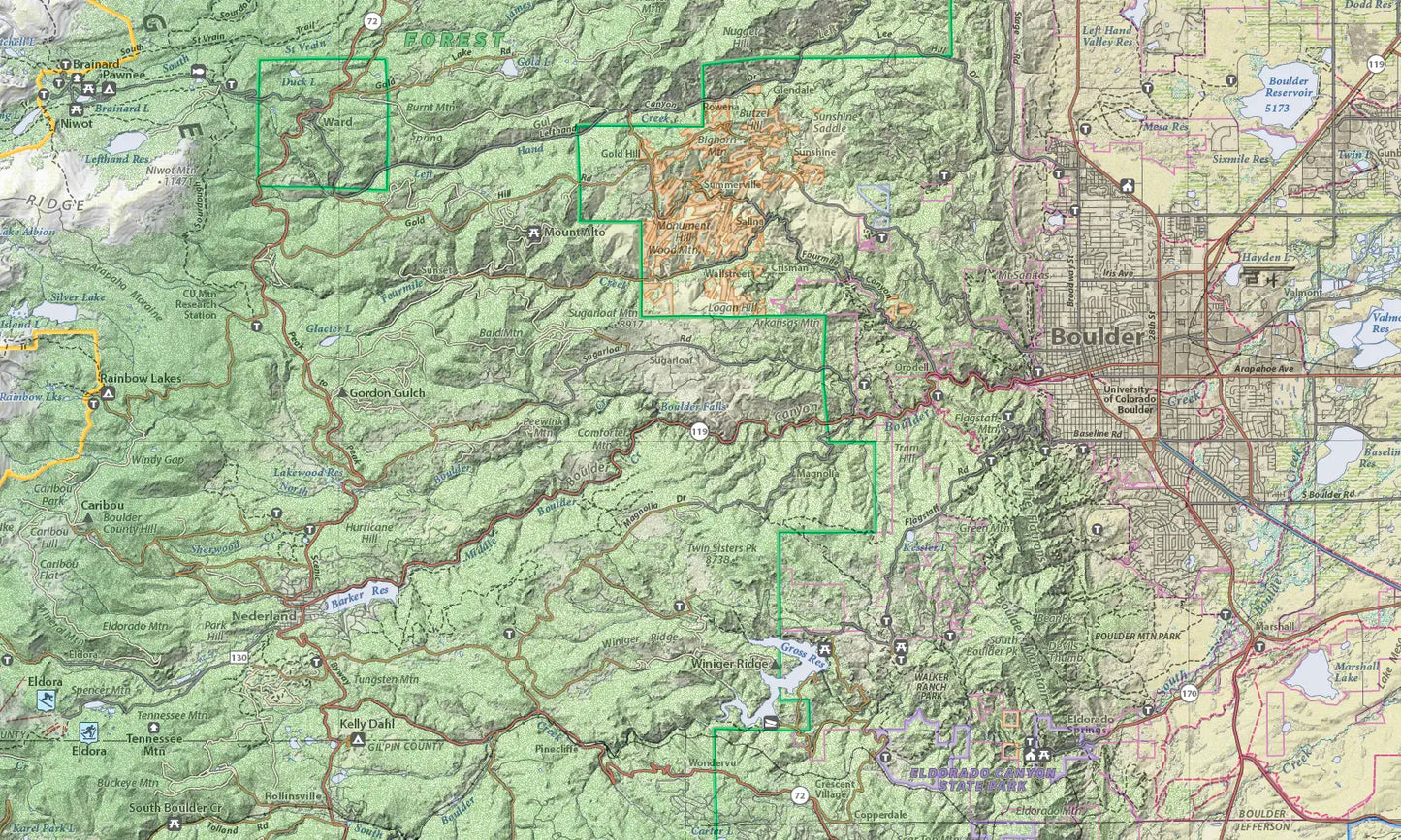
This map covers the Front Range from Fort Collins to Monument. It encompasses the southern Medicine Bow Mountains, Mummy Range, Never Summer Mountains, and Rocky Mountain National Park. From east to west it covers from Aurora to Breckenridge.
Every recreational site and area is shown: trailheads, picnic areas, campgrounds, fishing access sites, boat launch sites, and alpine and nordic ski areas. Every trail is shown, with the names of most trails as well.
The map is designed to have two different perspectives. From a distance the viewer sees only the landscape and major highways. But viewed close up the viewer sees thousands of individual items (named peaks, creeks, recreation sites, forest service roads, trails, etc.) not seen from a distance.
To give the map a three dimensional look, it uses hypsometric elevation coloring combined with shaded relief and six types of land cover: forest, sagebrush, cropland, grassland, wetland, and urban areas.
Size: 32" x 50"
Scale: 1:150,000
SKU: SKU:BRMCOFR
View full details