National Geographic
Colorado Trail North Trails Illustrated Topographic Map Booklet #1202
Colorado Trail North Trails Illustrated Topographic Map Booklet #1202
Couldn't load pickup availability
Share
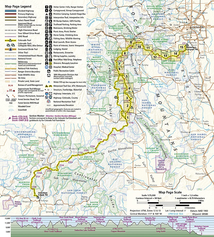
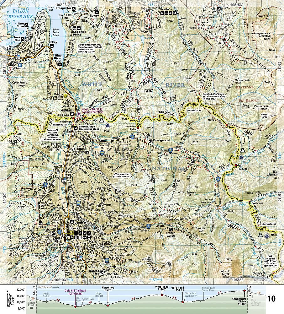
The Colorado Trail North Trails Illustrated Topographic Map Booklet #1202 by National Geographic is the ultimate guide to navigating the northern half of Colorado’s legendary 486-mile Colorado Trail. Beginning at Waterton Canyon near Denver, this trail winds through breathtaking landscapes, including the rugged Lost Creek Wilderness, the alpine beauty of the Holy Cross Wilderness, and the dramatic Collegiate Peaks Wilderness, home to multiple 14,000-foot summits. Hikers will pass near Mount Elbert, Colorado’s tallest mountain, and explore some of the most iconic stretches of high-country terrain in the Rockies.
Conceived in 1973 and completed in 1987, the Colorado Trail connects adventurers with the state’s rich outdoor heritage and offers a glimpse into Colorado’s mining and pioneering past. This map booklet features detailed topographic maps, elevation profiles, bike detour routes, and resupply point charts, all printed on waterproof, tear-resistant paper. Lightweight and compact, it’s the perfect backcountry companion for exploring Colorado’s premier long-distance trail.
SKU: SKU:TRA1202
View full details