Rand McNally
Colorado State Highway Folded Map by Rand McNally - Easy to Read
Colorado State Highway Folded Map by Rand McNally - Easy to Read
Couldn't load pickup availability
Share
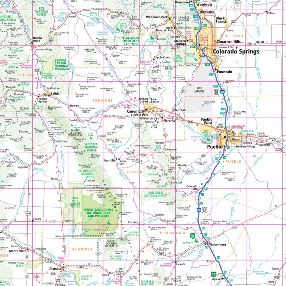
Hit the open road in the Centennial State with Rand McNally’s Colorado State Highway Folded Map—your classic travel companion for epic road trips and spontaneous detours alike! Ditch the cell signal stress and plan your adventure the old-school way—where every mountain pass, scenic byway, and hidden gem unfolds right in your hands.
This Easy to Read map features crisp cartography with clearly labeled Interstates, state highways, parks, and points of interest so you’ll never miss a turn. It’s regularly updated, printed in vibrant color, and sized perfectly for quick-glance navigation without squinting.
Explore beyond the usual suspects—venture to Bishop Castle, a quirky hand-built fortress rising from the forest in the San Isabel Mountains, and discover one of Colorado’s best-kept road trip secrets. Reliable, affordable, and refreshingly analog, this fold-out favorite turns every mile into an adventure worth remembering.
SKU: SKU:RMCUSCO
View full details