Benchmark
Colorado Road & Recreation Atlas by Benchmark Maps
Colorado Road & Recreation Atlas by Benchmark Maps
Couldn't load pickup availability
Share
Ditch the cell service worries and navigate Colorado like a pro! The Colorado Road & Recreation Atlas by Benchmark Maps puts the entire state right at your fingertips—no buffering required. Whether you're road-tripping scenic byways or trekking through Garden of the Gods, this atlas keeps you confidently on course.
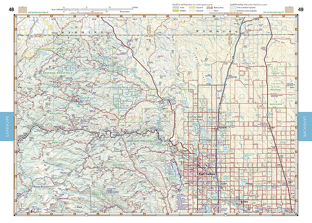
Benchmark’s signature dual-format design makes exploring a breeze. The Landscape maps provide gorgeous elevation-tinted relief, making mountains, valleys, and winding backroads bold and easy to follow. Flip to the Recreation/Public Lands maps and instantly see what’s what—wilderness, BLM, state parks, national parks, even private inholdings—all smartly color-coded so you know exactly where your next adventure lies.
Every page boasts field-checked accuracy, generous map overlap, and a super-usable GPS grid. Want even more? A loaded 30-page Recreation Guide highlights campgrounds, scenic wonders, hunting and fishing spots, boat launches, and so much more. At 144 pages, 11" x 15", with map scales of 1:200,000 & 1:500,000, it’s the ultimate companion for hikers, campers, RVers, and weekend wanderers who want the most complete picture of the Centennial State.
SKU: SKU:NGSBENCOAT
View full details