National Geographic
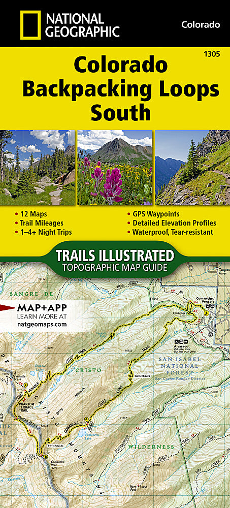
Colorado Backpacking Loops South Trails Illustrated Topo Map #1305
Colorado Backpacking Loops South Trails Illustrated Topo Map #1305
Couldn't load pickup availability
Share
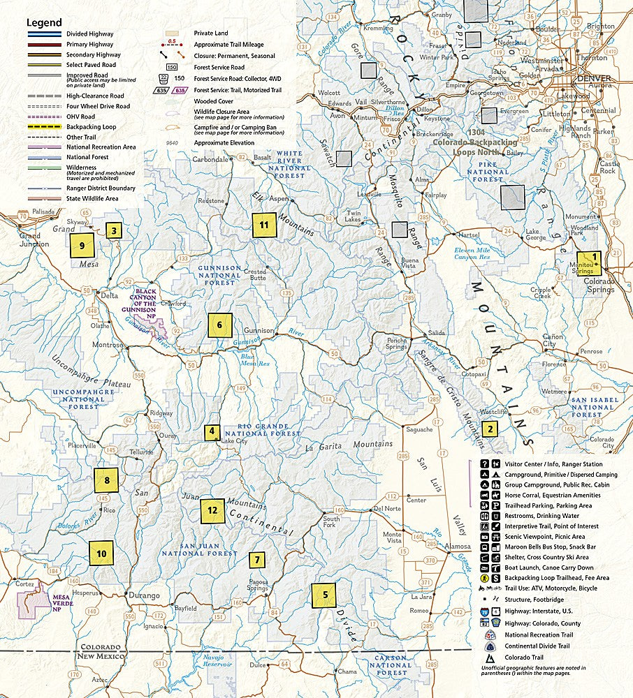
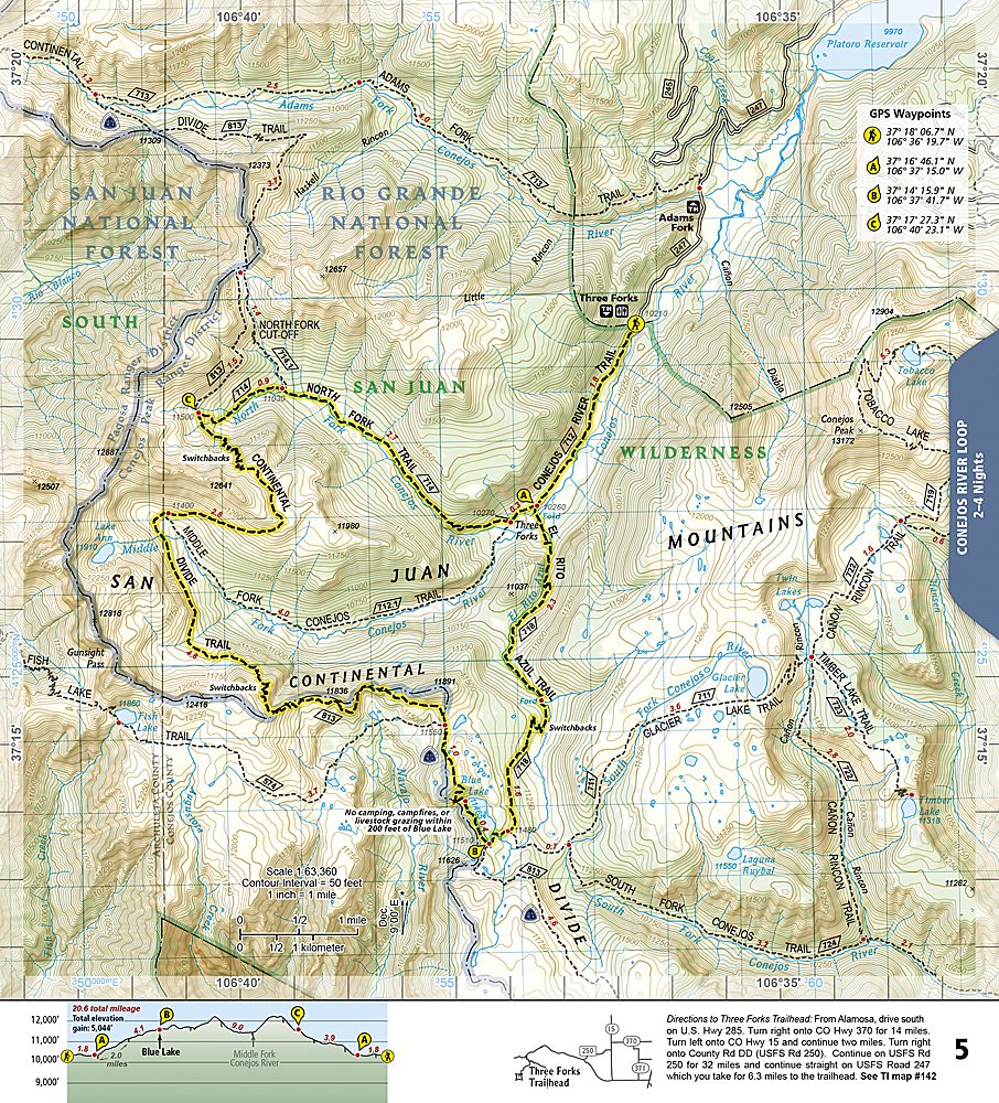
The Colorado Backpacking Loops South Trails Illustrated Topographic Map Booklet #1305 by National Geographic is the perfect companion for discovering some of the state’s most stunning backcountry. Covering a dozen handpicked loop hikes in southern Colorado, this guide highlights the wild beauty of the Sangre de Cristo Mountains, the San Juan Mountains, and the Weminuche Wilderness. Adventurers can explore iconic destinations such as Great Sand Dunes National Park, Wheeler Geologic Area with its otherworldly volcanic spires, and the alpine wonders of the Collegiate Peaks.
Each loop ranges from 10 to 26 miles and is organized by the number of nights needed, with trail profiles, mileages, GPS points, and detailed maps to make planning easy. Rich in history, this region once drew Spanish explorers and later prospectors chasing silver and gold, leaving behind trails that today lead to remote peaks and valleys. Printed on waterproof, tear-resistant paper, this lightweight booklet makes navigating Colorado’s rugged wilderness both convenient and reliable.
- Booklet Format/ 36 Pages
- Scale 1: 40,680 & 1: 63,360
SKU: SKU:TRA1305
View full details