International Travel Maps
Chad Travel & Reference Map by ITMB
Chad Travel & Reference Map by ITMB
Couldn't load pickup availability
Share
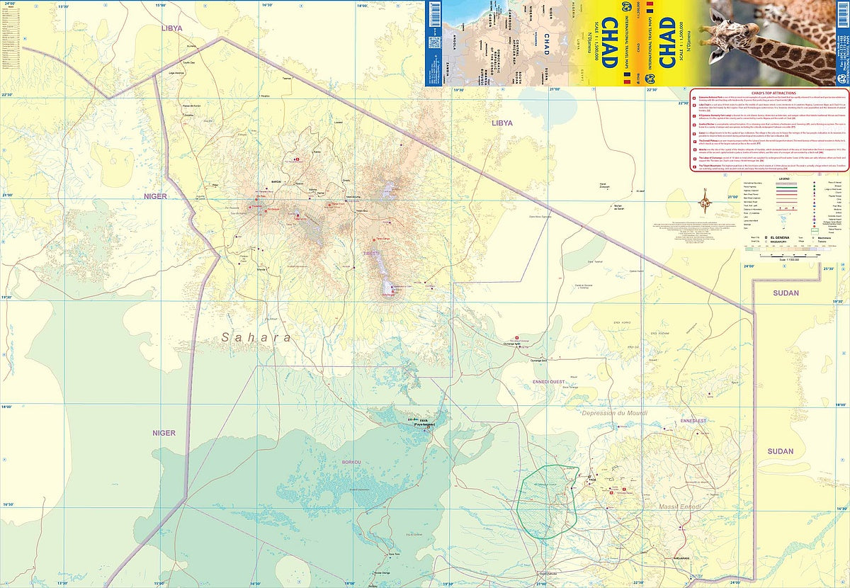
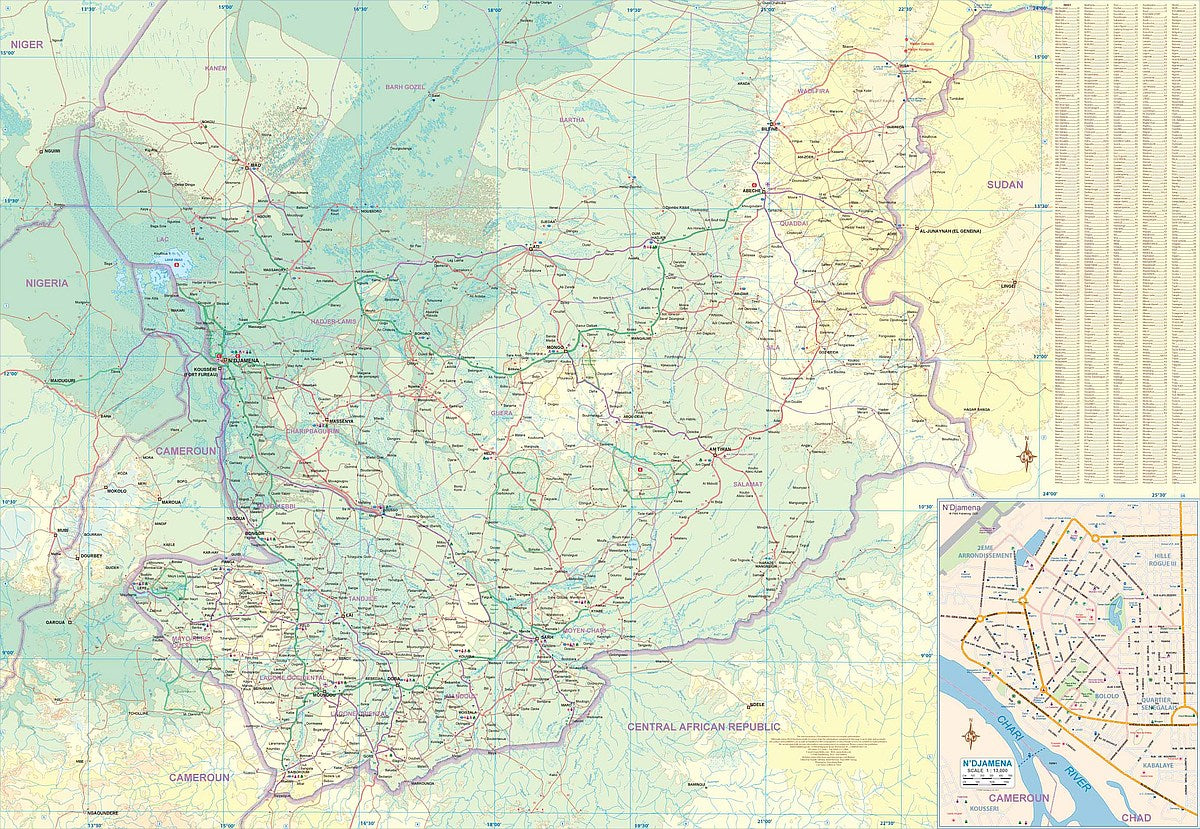
Explore the heart of Africa with ITMB’s double-sided, folded Chad Travel & Reference Map at a scale of 1:1,500,000. Covering one of the continent’s largest landlocked nations, this detailed map showcases Chad’s diverse landscapes—from the arid, sparsely populated Sahara in the north to the more vibrant southern regions where most of the population resides.
Discover top attractions like the rugged Tibesti Mountains, home to some of the Sahara’s highest peaks; the mesmerizing Guelta d’Archei, where camels gather at a hidden desert oasis; and the ever-changing shores of Lake Chad, a vital yet shrinking water source. The map features a clear inset of N’Djamena, Chad’s bustling capital, plus a Top Attractions list to guide your travels.
With symbols for roads, rivers, lakes, national parks, airports, and points of interest, this 27" x 39" map is perfect for planning adventures across Chad’s unique blend of cultures, history, and breathtaking geography.
SKU: SKU:ITMCHAD
View full details