Adventure Maps
Central Oregon High Desert Trail Map
Central Oregon High Desert Trail Map
Couldn't load pickup availability
Share
Hiking map of areas north of Bend, west of Sisters, and east of Redmond including Lookout and Round Mountains, McKenzie River, Peterson Ridge, Smith Rock, Santiam Pass, Three Fingered Jack and Black Butte.
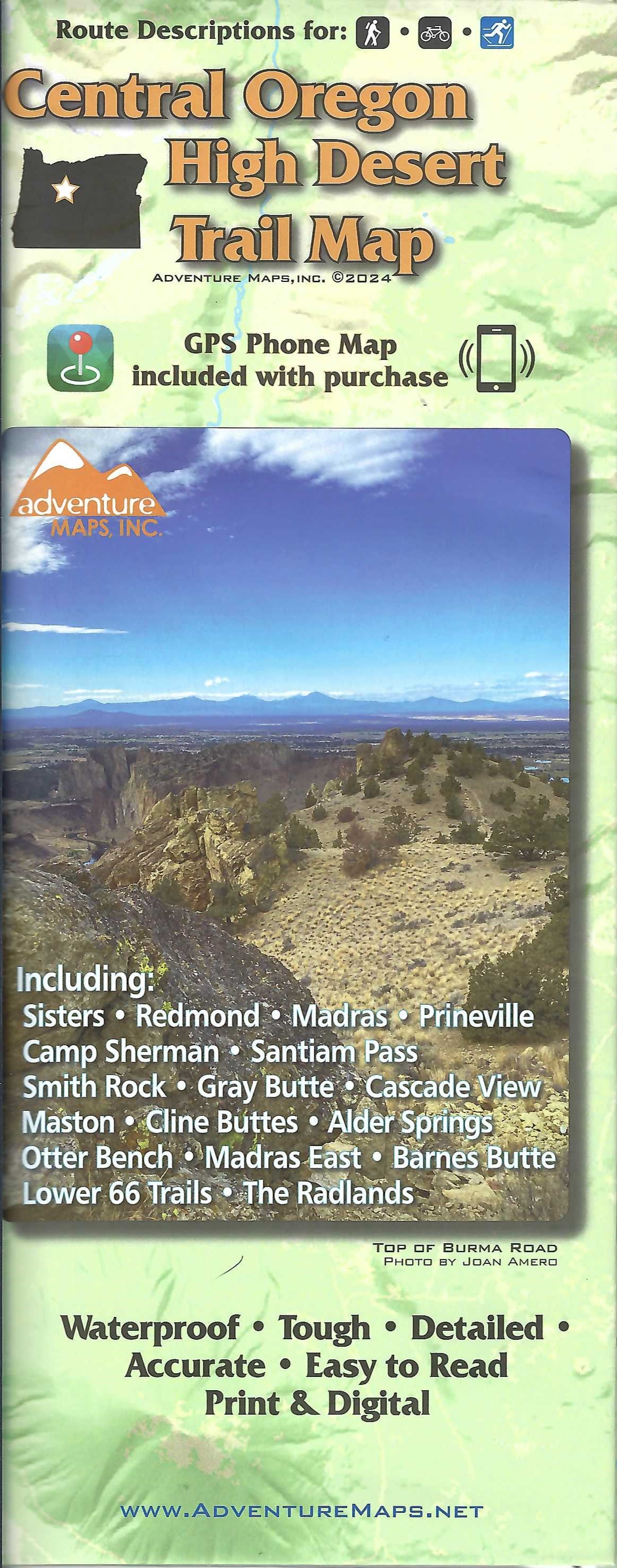
This folded topographic map on waterproof and tear resistant paper highlights mountain biking and hiking trails in the areas around Sisters, Redmond, Madras, and Prineville. You will find route details for 14 of the best mountain bike rides, 11 hikes, and 2 cross-country skiing areas. The map includes blowups of Peterson Ridge Trails, Smith Rock, The Radlands, Lower 66 Trails, Barnes Butte, Madras East Hills, Maston, Cline Buttes and Tumalo Canal Trails. Also shows campgrounds, equestrian trails, boat ramps, and cross-country ski routes. Map includes UTM Grids for use with your GPS unit and climatological information.
SKU: SKU:ADVORCENTHIGH
View full details