1
/
of
1
International Travel Maps
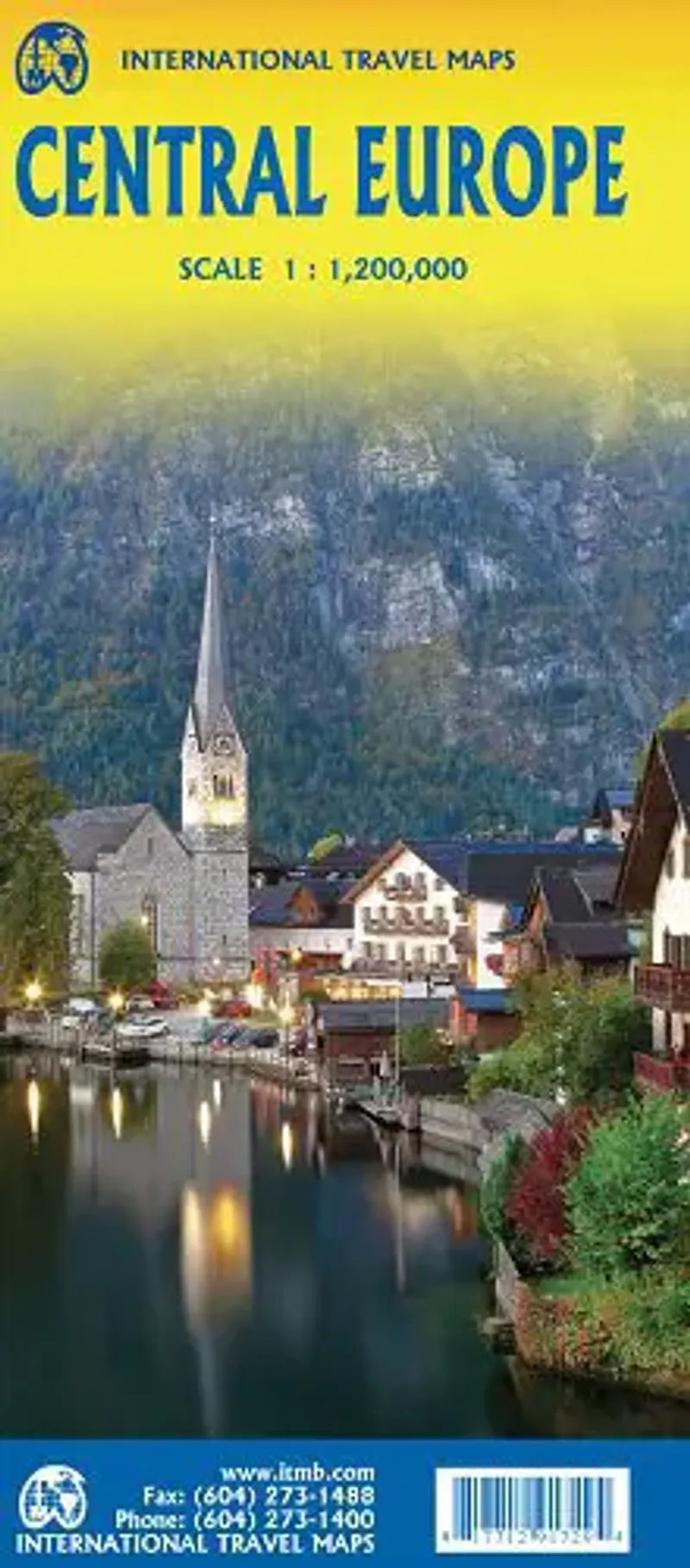
Central Europe Travel Map
Central Europe Travel Map
Regular price
$13.95 USD
Regular price
Sale price
$13.95 USD
Unit price
/
per
Couldn't load pickup availability
Share
Europe is big and densely populated. So naturally, ITM decided to create these regional maps at a scale that shows information, but doesn't lose detail.
This Central Europe Travel Map covers the countries of Germany, Austria, Poland, Czechia (Czech Republic), Hungary, Slovakia and Switzerland. Germany occupies most of Side A and Poland Side B. Czechia and Slovakia are divided between the two sides and Slovakia / Hungary fills the rest of Side B.
It also features portions of France, Belarus, Serbia and Romania.
This regional map shows rail lines as well as roads, airports and major tourist attractions. A listing of top attractions is also included!


