International Travel Maps
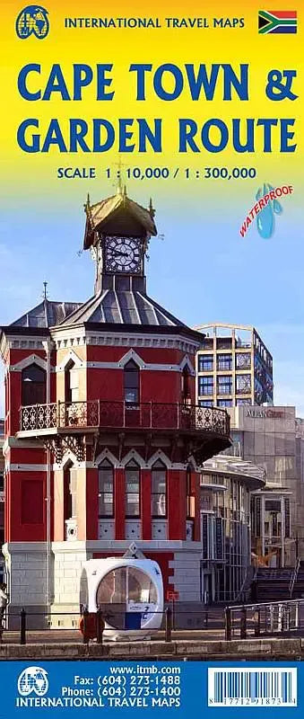
Cape Town & Garden Route Travel Map
Cape Town & Garden Route Travel Map
Couldn't load pickup availability
Share
Discover the beauty and diversity of South Africa with this Cape Town & Garden Route Travel Map, published ITMB. This double-sided, folded map offers unparalleled detail and insight into one of the country’s most captivating regions.
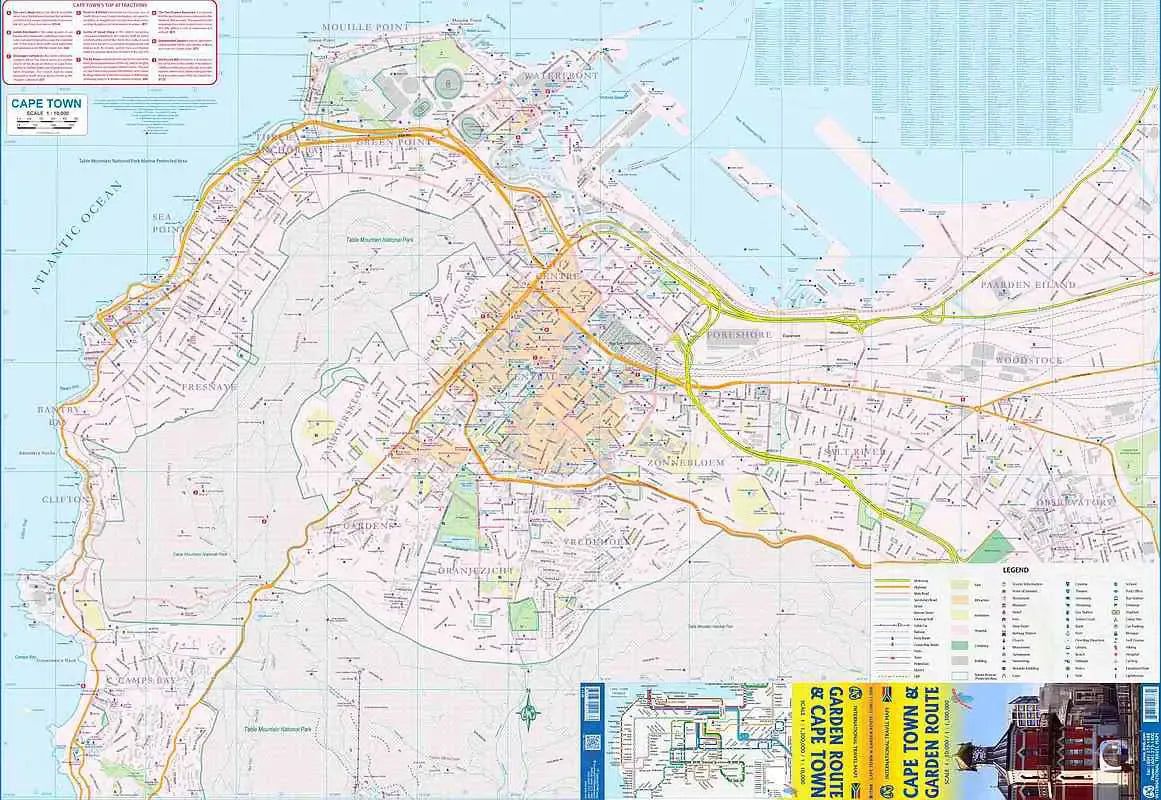
Side 1 provides a detailed street map of Cape Town, stretching from the lively neighborhoods of Observatory to the stunning shores of Camps Bay. Explore the iconic Table Mountain, a UNESCO World Heritage Site, towering majestically over the city, or stroll along the V&A Waterfront, a bustling hub of dining, shopping, and entertainment.
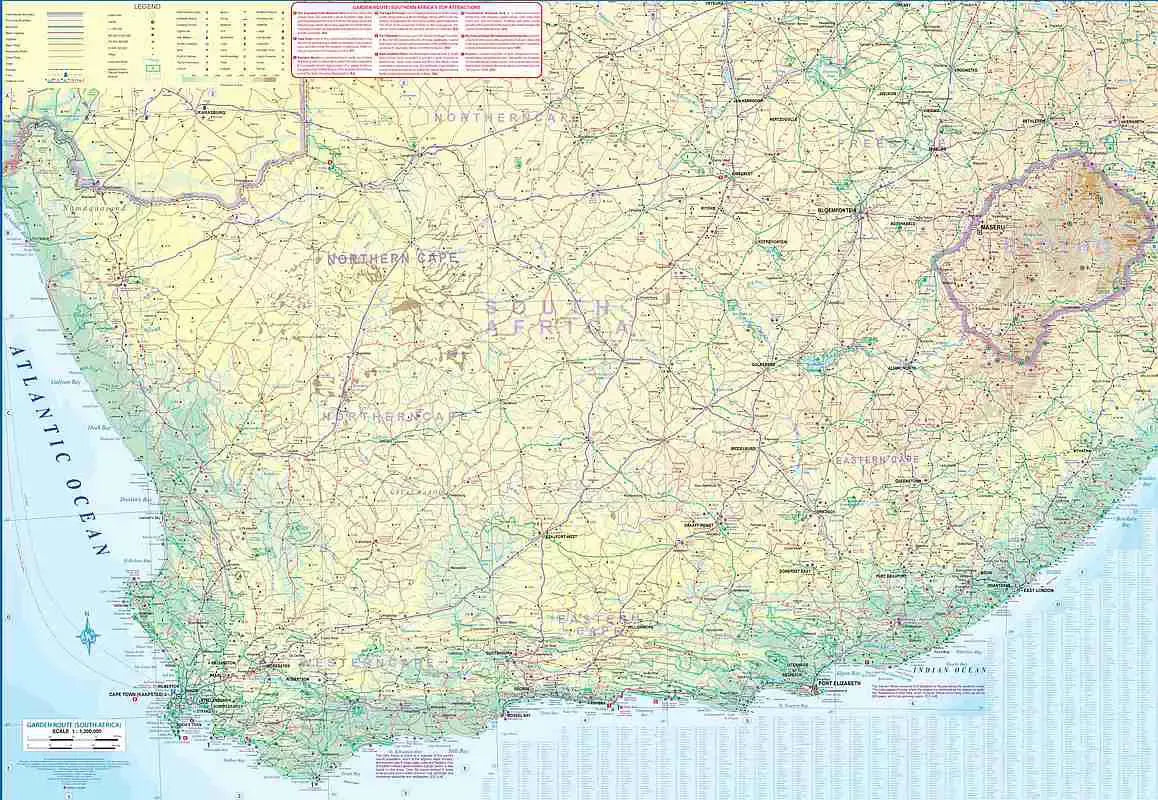
Side 2 unfolds to reveal the Garden Route and beyond, charting the scenic highway from Cape Town to East London and Port Elizabeth. This breathtaking journey highlights popular destinations like the lush Tsitsikamma National Park and the quaint coastal town of Knysna, famous for its lagoon and surrounding forests. The map extends to include Bloemfontein, the charming heart of the Free State, and even the mountainous kingdom of Lesotho.
Designed at a scale of 1:10,000 for Cape Town and 1:300,000 for the wider region, this 27” x 39” map is packed with essential details: roads, rivers, lakes, airports, and points of interest. It also features key attractions like the wine estates of Stellenbosch and Paarl, the rugged Great Karoo, and the historic diamond mines of Kimberley. Perfect for travelers, this map ensures a seamless exploration of South Africa’s most scenic and cultural highlights.
SKU: SKU:ITMCAPETOWN
View full details