International Travel Maps
Canary Islands Travel & Reference Map by ITMB
Canary Islands Travel & Reference Map by ITMB
Couldn't load pickup availability
Share
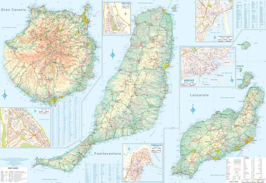
Sun, scenery, and seven islands of adventure—bring the Canary Islands closer with the double-sided Canary Islands Travel & Reference Map by ITMB! Covering the archipelago at a detailed 1:130,000 scale, this 27" x 39" map is an ideal companion for planning a beach escape, island-hopping adventure, or road trip through this spectacular corner of the Atlantic.
Located off the coast of Morocco, the Canary Islands have attracted travelers since early Spanish explorers charted the islands centuries ago. Discover Tenerife’s dramatic Mount Teide, the highest peak in Spain; explore the volcanic landscapes of Timanfaya National Park on Lanzarote; or soak up the lush beauty of La Palma, known as “La Isla Bonita.”
All seven major islands are shown with roads, beaches, resort hotels, points of interest, elevations, national parks, airports, rivers, lakes, and more. Eleven inset urban maps—including Santa Cruz, Arrecife, and Las Palmas—make city navigation easier, while detailed road classifications help turn sightseeing plans into real-world adventures. Whether you’re exploring one island or touring the entire archipelago, this Canary Islands map keeps the journey on track.
SKU: SKU:ITMCANARY
View full details