Canadian Hydrographic Service (CHS)
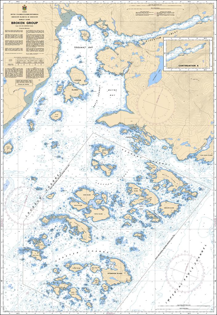
Canadian Nautical Chart #3670 - Broken Group
Canadian Nautical Chart #3670 - Broken Group
Couldn't load pickup availability
Share
Chart a course for adventure with Canadian Nautical Chart #3670 – Broken Group, where every inlet, island, and sheltered passage invites exploration. Whether you're planning your next voyage or creating a coastal-inspired display, this detailed marine chart delivers timeless nautical appeal.
Covering the spectacular Broken Group Islands in Barkley Sound on the rugged west coast of Vancouver Island, this Canadian Nautical Chart highlights intricate channels, protected anchorages, reefs, shoreline features, and navigation details that have guided mariners for generations. Explore waters surrounding Hand Island, Turret Island, Gibraltar Island, and the countless forested islets that make this region a paradise for kayakers, sailors, anglers, and wildlife enthusiasts. The area is also rich in history, serving for thousands of years as the traditional homeland of the Tseshaht and other Nuu-chah-nulth First Nations, whose deep connection to these coastal waters continues today.
Measuring a generous 49" x 36" with a detailed 1:20,000 scale, this impressive chart is equally suited for trip planning, marine reference, or eye-catching nautical décor. Perfect for your home, office, cabin, or boat, Canadian Nautical Chart #3670 – Broken Group is a striking blend of maritime history, coastal beauty, and practical navigation that every Pacific Northwest enthusiast will appreciate.
SKU: SKU:CHY3670
View full details