Canadian Hydrographic Service (CHS)
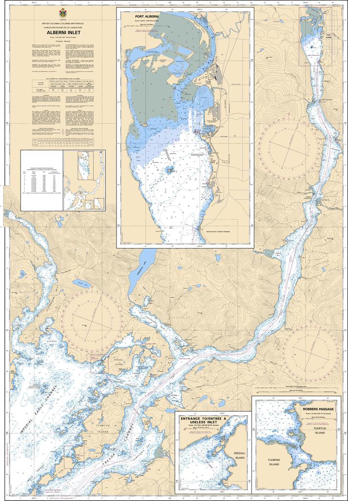
Canadian Nautical Chart #3668 - Alberni Inlet
Canadian Nautical Chart #3668 - Alberni Inlet
Couldn't load pickup availability
Share
Chart a course into one of Vancouver Island's most spectacular coastal waterways! Canadian Nautical Chart #3668 – Alberni Inlet is your ticket to exploring dramatic fjord-like scenery, hidden coves, and rich maritime history while adding authentic nautical style to your home or office.
Covering Alberni Inlet in impressive detail, this Canadian Hydrographic Service chart maps the deep waters stretching from Barkley Sound to Port Alberni, including the bustling waterfront at Port Alberni, Uchucklesit Inlet, Trevor Channel, Alberni Canal, and nearby islands, bays, and anchorages. Whether you're planning a boating adventure, kayaking expedition, fishing trip, or simply admiring British Columbia's rugged coastline, this chart is packed with navigational detail and coastal charm.
Alberni Inlet played a significant role in British Columbia's logging and shipping industries and was dramatically impacted by the 1964 Alaska earthquake tsunami, which surged up the inlet and forever became part of the region's maritime history.
Printed at a generous 36" x 49" with a detailed 1:40,000 scale, this nautical chart is equally at home guiding exploration on the water or serving as a striking decorative display for sailors, paddlers, anglers, and coastal enthusiasts alike.
SKU: SKU:CHY3668
View full details