Canadian Hydrographic Service (CHS)
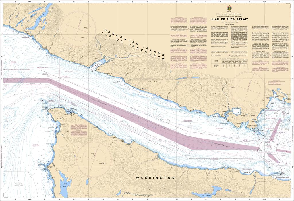
Canadian Nautical Chart #3606 - Juan de Fuca Strait
Canadian Nautical Chart #3606 - Juan de Fuca Strait
Couldn't load pickup availability
Share
Navigate the dramatic waters of the Pacific Northwest with the Canadian Nautical Chart #3606 - Juan de Fuca Strait, a must-have for sailors, coastal explorers, and ocean-loving adventurers. This detailed chart brings the rugged beauty of one of North America’s most iconic marine gateways right to your home, boat, or planning table.
Covering the Juan de Fuca Strait and surrounding coastal waters, this chart highlights areas including Victoria, Port Angeles, Neah Bay, Race Rocks, Sooke Basin and nearby islands along the southern coast of Vancouver Island. The region has a fascinating maritime past, including the 18th-century explorations of Spanish and British expeditions that helped map these strategic waters.
Perfect for navigation reference, trip planning, or nautical-inspired décor, the Canadian Nautical Chart #3606 captures the character of a legendary waterway where mountains meet the sea. Measuring 48" x 36" with a scale of 1:110,000, it makes a striking display piece for homes, offices, marinas, and coastal enthusiasts who love exploring the Pacific coast.
SKU: SKU:CHY3606
View full details