Canadian Hydrographic Service (CHS)
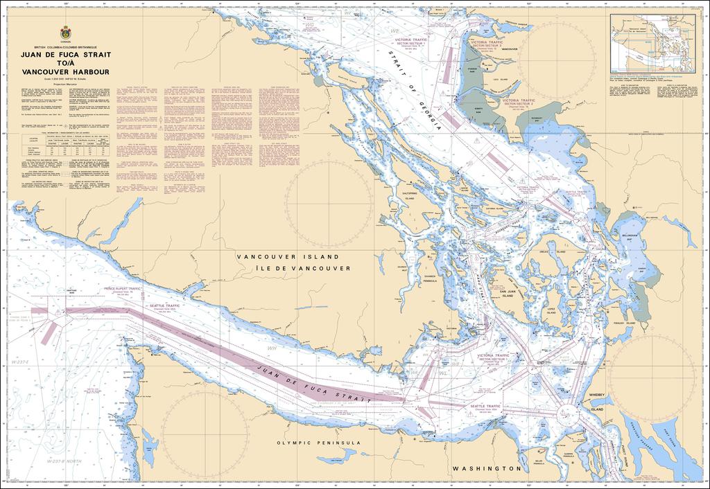
Canadian Nautical Chart #3601 - Juan de Fuca Strait to Vancouver Hbr
Canadian Nautical Chart #3601 - Juan de Fuca Strait to Vancouver Hbr
Couldn't load pickup availability
Share
Chart your next coastal adventure with Canadian Nautical Chart #3601 - Juan de Fuca Strait to Vancouver Harbor, a must-have for sailors, explorers, and ocean lovers who want to bring the Pacific Northwest’s spectacular waterways to life. This detailed chart blends practical marine reference with eye-catching coastal décor.
Covering a stunning stretch from the Juan de Fuca Strait northward to Vancouver Harbor, this chart highlights important waters and destinations including Victoria, Vancouver, the Gulf Islands, Boundary Pass, Haro Strait, and the intricate channels surrounding British Columbia’s coastline. Explore the marine landscape shaped by centuries of Indigenous history, maritime trade, and famous voyages such as Captain George Vancouver’s 1792 expedition to chart the Pacific Northwest coast.
Sized at 49" x 36" with a scale of 1:200,000, Canadian Nautical Chart #3601 is ideal for trip planning, collectors, boaters, and anyone fascinated by coastal geography. Whether displayed as nautical wall art or used as a planning companion, it’s a beautiful window into one of the world’s most breathtaking marine regions.
SKU: SKU:CHY3601
View full details