Canadian Hydrographic Service (CHS)
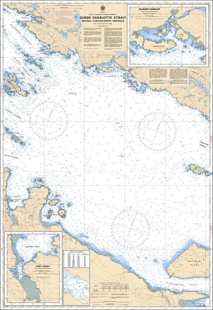
Canadian Nautical Chart #3548 - Queen Charlotte Strait (Central)
Canadian Nautical Chart #3548 - Queen Charlotte Strait (Central)
Couldn't load pickup availability
Share
Set your course for one of British Columbia's most spectacular cruising destinations! Canadian Nautical Chart #3548 – Queen Charlotte Strait (Central Portion) is your gateway to rugged coastlines, sheltered passages, and unforgettable maritime adventures.
Covering the central reaches of Queen Charlotte Strait, this detailed Canadian Nautical Chart highlights popular boating waters around Port Hardy & Hardy Bay, Blunden Harbour, Beaver Harbour and the Deserters Group Islands. This region is renowned for incredible whale watching, abundant marine wildlife, and dramatic coastal scenery that has captivated mariners for centuries. The surrounding waterways also played an important role in the maritime traditions of the Kwakwaka'wakw First Nations and later became vital shipping routes during British Columbia's coastal settlement and logging era.
Printed at an impressive 36" x 49" with a detailed 1:40,000 scale, this chart is equally at home aboard your vessel or displayed on your wall. Whether you're planning your next coastal voyage, reliving unforgettable adventures, or adding authentic nautical décor to your home, this chart beautifully blends practical navigation with timeless maritime character.
SKU: SKU:CHY3548
View full details