Canadian Hydrographic Service (CHS)
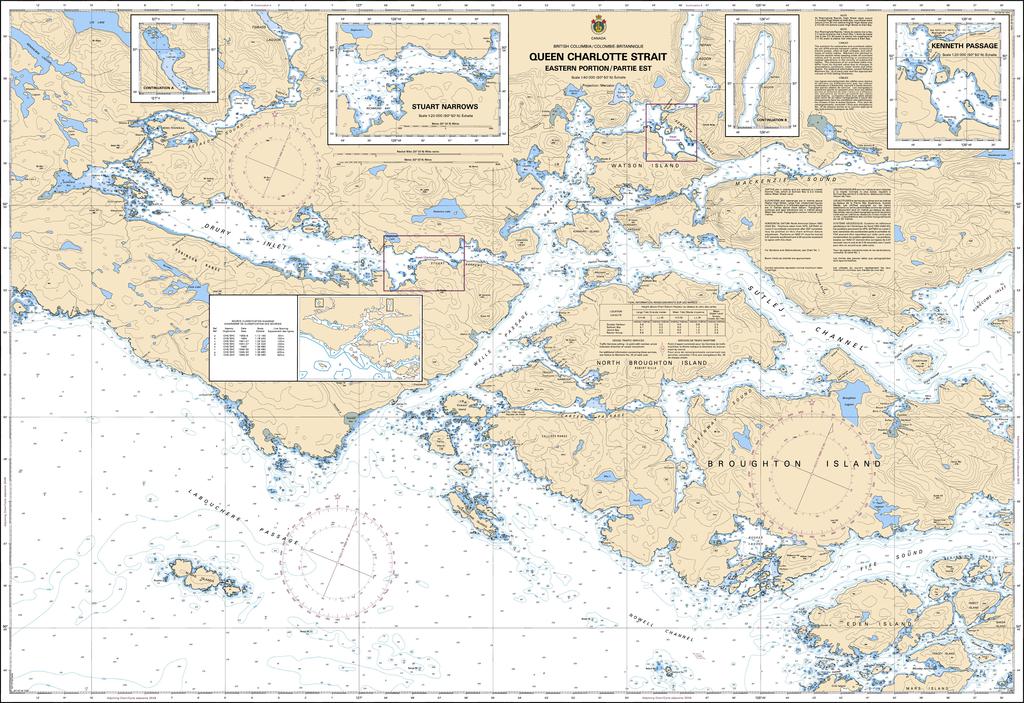
Canadian Nautical Chart #3547 - Queen Charlotte Strait (Eastern)
Canadian Nautical Chart #3547 - Queen Charlotte Strait (Eastern)
Couldn't load pickup availability
Share
Chart a course for unforgettable adventures with Canadian Nautical Chart #3547 – Queen Charlotte Strait (Eastern Portion)! Whether you're planning your next voyage or creating a coastal-inspired space, this detailed marine chart is the perfect blend of practical navigation and stunning nautical décor.
Covering the intricate waterways of the Eden Islands, Broughton and North Broughton Island, Sutlej Channel, Wells Passage, Drury Inlet, Watson Island, Mackenzie Sound, and many more remote passages, this chart showcases one of British Columbia's most spectacular cruising regions. Printed at an impressive 48" x 36" with a precise 1:40,000 scale, it offers exceptional detail for route planning, trip research, and display.
These protected waters have welcomed Indigenous coastal communities for thousands of years before becoming vital routes for European explorers and mariners during the late 1700s, helping shape British Columbia's maritime history.
Perfect for sailors, kayakers, anglers, and coastal explorers alike, Canadian Nautical Chart #3547 is equally at home aboard your vessel or framed on your wall. Celebrate the rugged beauty of Queen Charlotte Strait while inspiring your next adventure across Canada's legendary Pacific coastline.
SKU: SKU:CHY3547
View full details