Canadian Hydrographic Service (CHS)
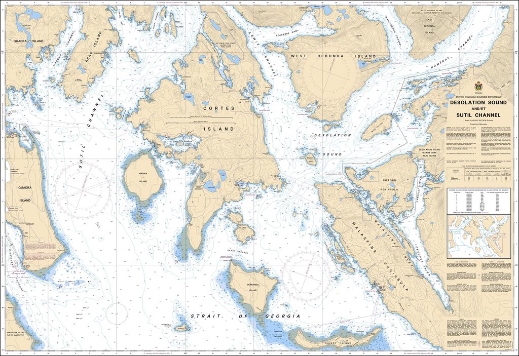
Canadian Nautical Chart #3538 - Desolation Sound and Sutil Channel
Canadian Nautical Chart #3538 - Desolation Sound and Sutil Channel
Couldn't load pickup availability
Share
Chart a course for adventure with Canadian Nautical Chart #3538 – Desolation Sound and Sutil Channel! Whether you're planning your next voyage or creating a coastal-inspired space, this detailed chart brings British Columbia's spectacular waterways to life.
Covering the sheltered waters of Desolation Sound, Sutil Channel, Cortes Island, Marina Island, Prideaux Haven, and the surrounding inlets, this Canadian Nautical Chart is an essential companion for boaters, kayakers, sailors, and coastal explorers alike. First explored by Spanish and British expeditions in the late 1700s, the region later earned its memorable name from Captain George Vancouver, who found the landscape unexpectedly quiet after searching for a major river passage.
Printed at an impressive 48" x 36" with a detailed 1:40,000 scale, this chart offers outstanding detail for route planning, navigation reference, and display. Rich with coastal character, islands, anchorages, and intricate shorelines, it's equally at home aboard your vessel or framed on your wall. Perfect for nautical enthusiasts, it transforms every glance into memories of past voyages and inspiration for the next unforgettable adventure.
Articles:
SKU: SKU:CHY3538
View full details