Canadian Hydrographic Service (CHS)
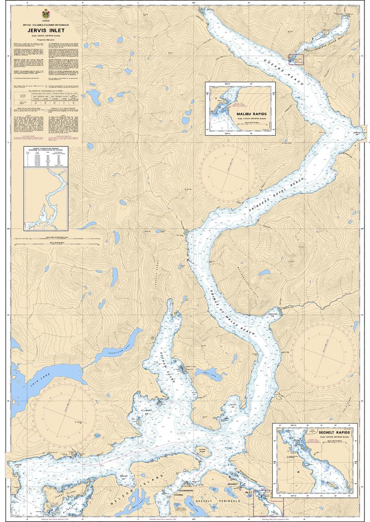
Canadian Nautical Chart #3514 - Jervis Inlet
Canadian Nautical Chart #3514 - Jervis Inlet
Couldn't load pickup availability
Share
Set your course for one of British Columbia’s most spectacular coastal waterways with Canadian Nautical Chart #3514 – Jervis Inlet! Whether you're a seasoned mariner, coastal explorer, or nautical décor enthusiast, this chart is ready to make waves.
Covering the breathtaking Jervis Inlet at an impressive 1:50,000 scale, this detailed Canadian nautical chart guides you through deep fjord waters, rugged shorelines, hidden coves, and scenic anchorages. Explore destinations like Princess Louisa Inlet, Malibu Rapids, and Hotham Sound while appreciating the dramatic mountain landscapes that make this region legendary. Jervis Inlet also played an important role in British Columbia’s coastal logging industry, with its deep waters providing access to remote forests and bustling logging camps throughout the 20th century.
Measuring a generous 36" x 49", this chart offers exceptional detail for navigation, trip planning, or display. Hang it as striking nautical wall art or use it to inspire your next adventure along one of Canada’s most awe-inspiring coastal passages. Perfect for explorers, boaters, and maritime history enthusiasts alike.
SKU: SKU:CHY3514
View full details