Canadian Hydrographic Service (CHS)
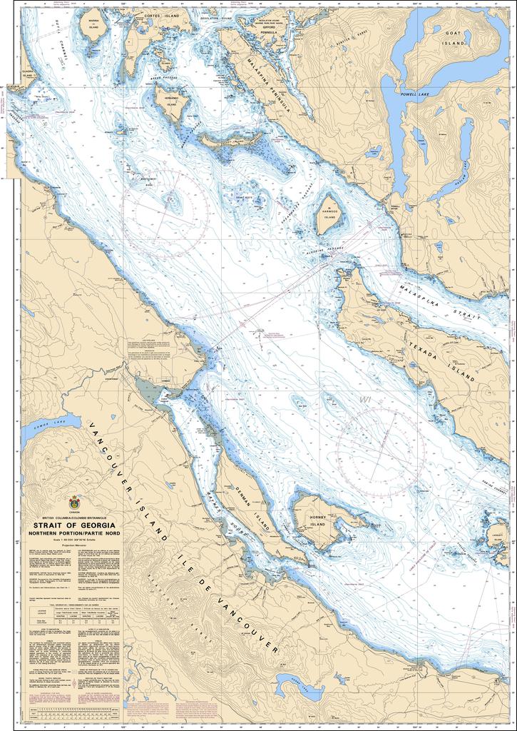
Canadian Nautical Chart #3513 - Strait of Georgia (Northern Portion)
Canadian Nautical Chart #3513 - Strait of Georgia (Northern Portion)
Couldn't load pickup availability
Share
Chart a course for adventure with Canadian Nautical Chart #3513 – Strait of Georgia (Northern Portion)! Whether you're dreaming of your next coastal voyage or creating the perfect maritime display, this detailed chart brings British Columbia's spectacular shoreline to life.
Covering a northern portion of the Strait of Georgia, this chart features the waters around Texada, Denman & Hornby Islands and northwest to include Savary and Hernando Islands just off the Malaspina Peninsula, and the gateway to Desolation Sound, making it an essential reference for boaters and coastal explorers alike. The region played a vital role during the late 1700s, when Captain George Vancouver carefully surveyed these waters, helping map Canada's Pacific coastline with remarkable precision.
Measuring an impressive 36" x 49" at a detailed 1:80,000 scale, this Canadian Nautical Chart offers outstanding clarity for route planning, geographic reference, or stunning nautical décor. Display it proudly in your home, office, cabin, or yacht, or use it to inspire future adventures through one of British Columbia's most scenic and historic marine destinations. It's the perfect blend of exploration, history, and timeless coastal style.
SKU: SKU:CHY3513
View full details