Canadian Hydrographic Service (CHS)
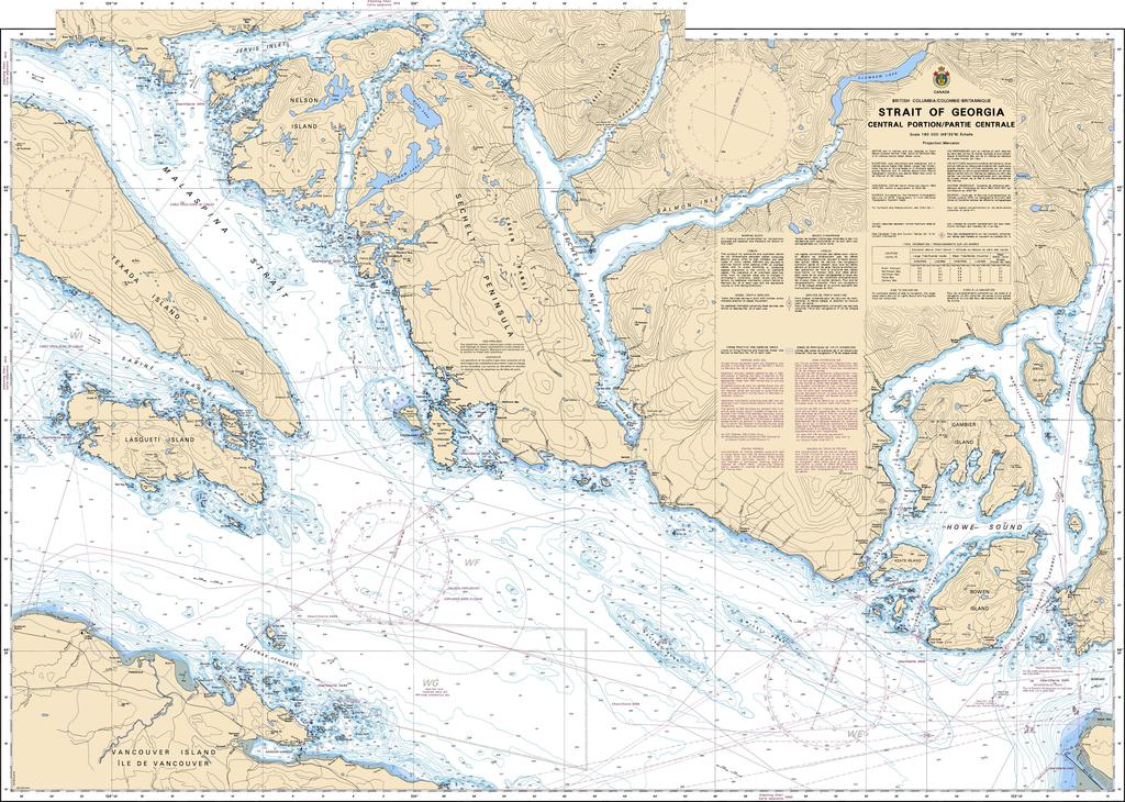
Canadian Nautical Chart #3512 - Strait of Georgia (Central Portion)
Canadian Nautical Chart #3512 - Strait of Georgia (Central Portion)
Couldn't load pickup availability
Share
Turn every glance into a voyage across one of British Columbia's most spectacular waterways! Canadian Nautical Chart #3512 – Strait of Georgia (Central Portion) is the perfect blend of practical marine navigation, coastal history, and eye-catching nautical décor.
Covering the central Strait of Georgia at a detailed scale of 1:80,000, this official Canadian Nautical Chart maps the scenic waters surrounding Ballenas Channel off Vancouver Island, the dramatic fjords of Howe Sound, the beautiful Sechelt Peninsula and Sechelt Inlet, plus Nelson Island and Lasqueti Island. Measuring an impressive 48" x 36", it's large enough to showcase intricate coastal features while making a striking wall display for any home, office, cabin, or yacht.
These waters played a vital role in the region's maritime history, serving Indigenous communities for thousands of years before becoming important trade and transportation routes during British Columbia's coastal development.
Whether you're planning your next cruising adventure, tracing favorite sailing routes, or creating a coastal-inspired space, Canadian Nautical Chart #3512 is an outstanding choice for both exploration and decoration. It's a timeless keepsake that celebrates the beauty, heritage, and adventure of Canada's spectacular Pacific coastline.
SKU: SKU:CHY3512
View full details