Canadian Hydrographic Service (CHS)
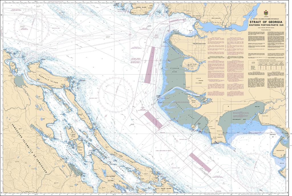
Canadian Nautical Chart #3463 - Strait of Georgia (Southern Portion)
Canadian Nautical Chart #3463 - Strait of Georgia (Southern Portion)
Couldn't load pickup availability
Share
Chart a course through one of British Columbia's most spectacular cruising grounds with Canadian Nautical Chart #3463 – Strait of Georgia (Southern Portion)! Whether you're planning your next adventure or creating a coastal-inspired display, this impressive chart delivers timeless nautical appeal.
Covering the southern Strait of Georgia, this detailed chart features the bustling waters surrounding Vancouver, the Gulf Islands, Nanaimo, Gabriola Island, and the approaches to the Fraser River, making it an essential companion for boaters, sailors, kayakers, and chart collectors alike. These historic waterways have been traveled for centuries, from Indigenous coastal communities to Captain George Vancouver's 1792 expedition that helped map the Pacific Northwest with remarkable accuracy.
Printed at a generous 49" x 36" with a precise 1:80,000 scale, this Canadian nautical chart is perfect for voyage planning, marine reference, or framing as striking nautical décor. Packed with navigational detail and rich coastal history, Canadian Nautical Chart #3463 beautifully combines practical exploration with classic maritime style, making it an outstanding gift for every lover of the sea.
SKU: SKU:CHY3463
View full details