Canadian Hydrographic Service (CHS)
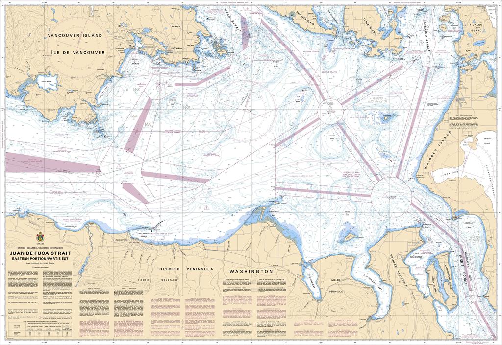
Canadian Nautical Chart #3461 - Juan de Fuca Strait (Eastern Portion)
Canadian Nautical Chart #3461 - Juan de Fuca Strait (Eastern Portion)
Couldn't load pickup availability
Share
Chart a course through one of the Pacific Northwest's most legendary waterways with Canadian Nautical Chart #3461 – Juan de Fuca Strait (Eastern Portion)! Whether you're planning your next voyage or creating a coastal-inspired display, this classic chart is ready to make waves.
Covering the eastern portion of the Juan de Fuca Strait at a detailed scale of 1:80,000, this impressive 48" x 36" Canadian nautical chart features important waters surrounding Victoria, Port Angeles, Race Rocks, Discovery Island, Haro Strait, Esquimalt Harbour, and the scenic channels leading toward the Gulf Islands. It's an invaluable navigation reference for experienced mariners while doubling as striking nautical wall décor for homes, offices, cabins, or waterfront retreats.
Named after the Greek navigator Juan de Fuca, who is believed to have explored these waters in 1592 while searching for the legendary Northwest Passage, this region has played a pivotal role in Pacific Coast exploration and maritime history. Whether you're dreaming of future adventures, celebrating unforgettable voyages, or searching for the perfect gift for a boating enthusiast, Canadian Nautical Chart #3461 beautifully combines practical coastal reference with timeless maritime charm.
SKU: SKU:CHY3461
View full details