Canadian Hydrographic Service (CHS)
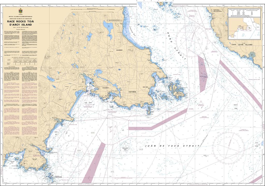
Canadian Nautical Chart #3440 - Race Rocks to D'Arcy Island
Canadian Nautical Chart #3440 - Race Rocks to D'Arcy Island
Couldn't load pickup availability
Share
Chart a course through one of the Pacific Northwest's most fascinating coastal waterways with Canadian Nautical Chart #3440 – Race Rocks to D'Arcy Island! Whether you're a seasoned mariner, coastal explorer, or nautical décor enthusiast, this detailed chart delivers adventure long before you leave the dock.
Covering the waters around Race Rocks, D'Arcy Island, Pedder Bay, Esquimalt Harbour, Albert Head, and the western approaches to Victoria, this chart captures a region famous for dramatic tides, rocky shorelines, and abundant marine wildlife. At a scale of 1:40,000 and measuring an impressive 49" x 36", it provides exceptional detail for planning voyages, studying local geography, or creating a striking coastal display. The area also carries rich history—Race Rocks has guided mariners since the Race Rocks Lighthouse first illuminated these hazardous waters in 1860, making it one of Canada's oldest active lighthouses.
Perfect for framing in a home, office, or waterfront cabin, this authentic Canadian nautical chart celebrates the beauty and heritage of British Columbia's rugged coastline while inspiring future adventures on the water. It makes an unforgettable gift for sailors, boaters, kayakers, and anyone captivated by Canada's spectacular Pacific coast.
SKU: SKU:CHY3440
View full details