Canadian Hydrographic Service (CHS)
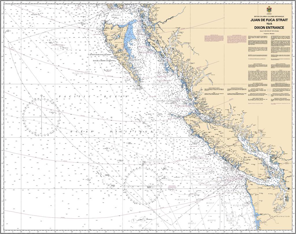
Canadian Nautical Chart #3000 - Juan de Fuca Strait to Dixon Entrance
Canadian Nautical Chart #3000 - Juan de Fuca Strait to Dixon Entrance
Couldn't load pickup availability
Share
Dream big and chart an unforgettable course with Canadian Nautical Chart #3000, covering one of the most spectacular stretches of the Pacific Northwest! Whether you're planning your next coastal adventure or creating the ultimate nautical-inspired space, this impressive chart is ready to make waves.
Spanning from the legendary Juan de Fuca Strait to the rugged wilderness of Dixon Entrance, this Canadian Nautical Chart showcases an incredible sweep of coastline, including Vancouver Island, the Inside Passage, the Strait of Georgia, Haida Gwaii, and countless islands, channels, and inlets that have captivated mariners for centuries. At a scale of 1:1,250,000 and a generous 45" x 36" size, it delivers an outstanding overview for trip planning, geographic reference, and eye-catching display.
These waters played a vital role in the maritime fur trade during the late 1700s and later became essential routes for explorers, Indigenous coastal communities, commercial shipping, and modern recreational boaters.
Perfect for navigation enthusiasts, history buffs, sailors, and coastal dreamers alike, this chart is equally at home guiding your next voyage or adding timeless nautical character to your home, office, cabin, or boat.
SKU: SKU:CHY3000
View full details