International Travel Maps
Canada Travel & Reference Map by ITMB
Canada Travel & Reference Map by ITMB
Couldn't load pickup availability
Share
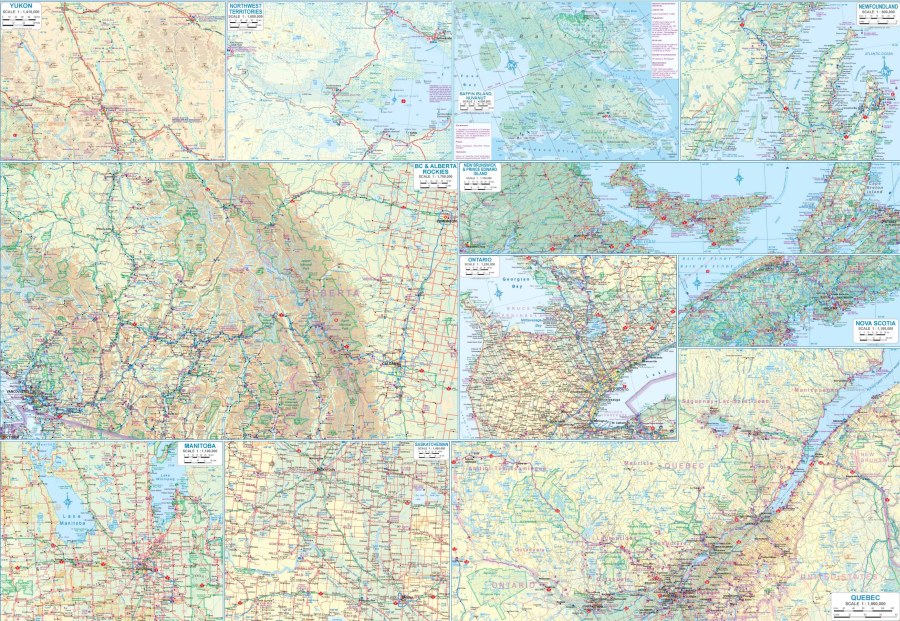
From Atlantic coastlines to towering Rocky Mountain peaks, this Canada Travel & Reference Map by ITMB makes planning an unforgettable Canadian adventure easy and inspiring. Covering the world's second-largest country at a scale of 1:6,000,000, this double-sided Canada Travel & Reference Map is the perfect companion for road trips, vacation planning, classroom reference, and travel dreaming.
Measuring a generous 27" x 39", this detailed map clearly displays highways, main roads, rivers, lakes, national parks, airports, points of interest, and much more through an easy-to-read legend. Whether you're charting a route to Banff National Park's turquoise lakes, admiring the thunderous beauty of Niagara Falls, or exploring the charming cobblestone streets of Old Québec, this Canada Travel & Reference Map helps you visualize every stage of your journey.
Canada's modern identity was shaped by Confederation in 1867, creating a nation that has grown into one of the world's most welcoming and scenic travel destinations. Recent updates include the Site C Dam in northern British Columbia along with selected place name revisions, while the country's immense geography remains remarkably unchanged. For travelers seeking even greater detail, ITMB also publishes individual maps covering all thirteen provinces and territories, numerous national parks, and many of Canada's major cities. Whether you're planning your next adventure or adding an attractive reference map to your collection, this Canada Travel & Reference Map is an outstanding resource you'll reach for again and again.
SKU: SKU:ITMCANADA
View full details