International Travel Maps
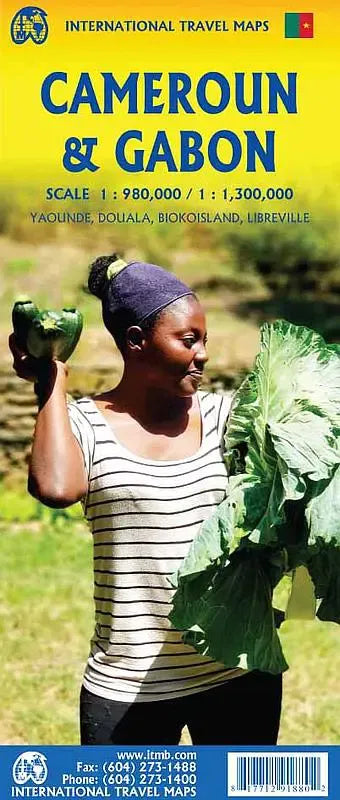
Cameroon & Gabon Travel Map
Cameroon & Gabon Travel Map
Couldn't load pickup availability
Share
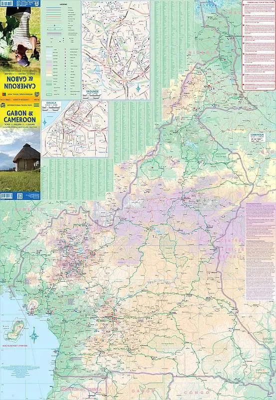
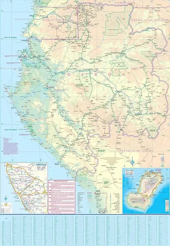
Cameroon & Gabon Travel Map ITMB: Discover the wonders of Central Africa with ITMB’s double-sided Cameroon & Gabon Travel Map. Designed at scales of 1:1,300,000 for Cameroon and 1:980,000 for Gabon, this detailed guide is ideal for travelers seeking adventure, culture, and natural beauty. The map unfolds to 27" x 39", showcasing key features such as highways, rivers, national parks, and points of interest.
On the Cameroon side, explore an inset of Yaoundé, the bustling capital known for its vibrant markets and landmarks like the Benedictine Monastery’s Museum of Art. Another inset highlights Douala, the country’s main port city and a gateway to the volcanic landscapes of Mount Cameroon, the tallest peak in West Africa. Trekking enthusiasts will appreciate its trails and breathtaking views.
Flip to the Gabon side and dive into its rich biodiversity. The map includes an inset of Libreville, Gabon’s coastal capital, known for its pristine beaches and the National Museum of Arts and Traditions. Just south of Libreville lies Loango National Park, often called “Africa’s Last Eden,” where forest elephants and hippos roam the beaches. An additional inset covers Bioko Island of Equatorial Guinea, famed for its lush rainforests and unique wildlife.
This travel map goes beyond Cameroon & Gabon, including Equatorial Guinea and provides a comprehensive tool for exploration and planning. Whether you're navigating urban hubs or remote national parks, this map ensures you’re well-prepared for an unforgettable journey!
SKU: SKU:ITMCAM
View full details