DeLorme
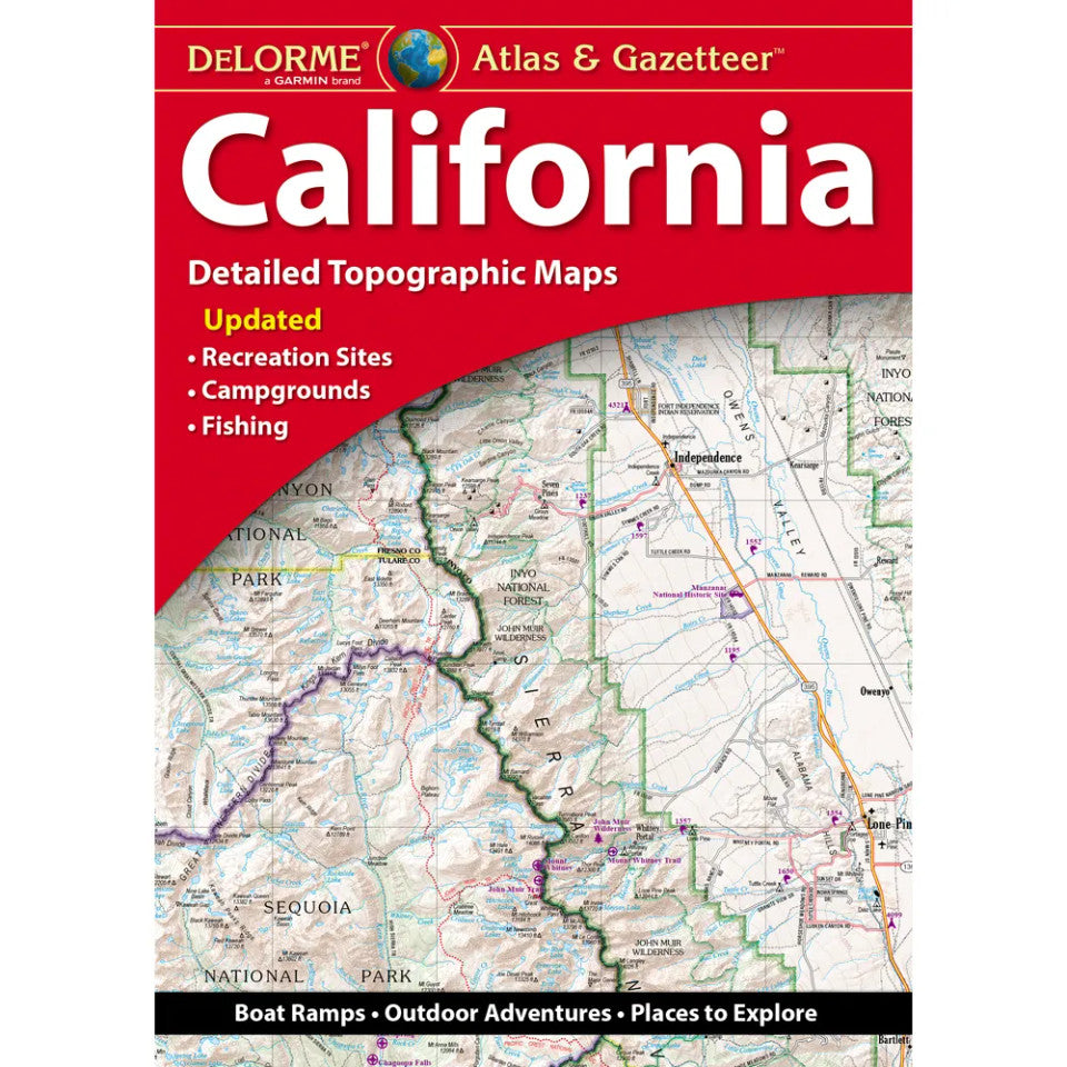
California Topographic Atlas & Gazetteer by DeLorme
California Topographic Atlas & Gazetteer by DeLorme
Couldn't load pickup availability
Share
Adventure is calling in the Golden State! From rugged mountain trails to hidden lakes and winding back roads, the California Topographic Atlas & Gazetteer by DeLorme puts your next outdoor adventure right at your fingertips.
Ditch the tiny phone screen and bulky folded maps! This handy, full-color California atlas makes trip planning easier, helps you discover backcountry access routes, and keeps essential map details together in one convenient reference. Explore Yosemite National Park with a special two-page map section, venture into the granite wilderness of the Sierra Nevada, or head for outdoor favorites like Joshua Tree National Park and the Lake Tahoe recreation area.
Packed with detailed topographic maps, this California travel companion highlights back roads, dirt roads, trails, elevation contours, remote lakes, streams, campgrounds, trailheads, boat ramps, public lands, scenic drives, historic sites, and fishing spots. GPS grids, tick marks, and an extensive place-name index make finding your destination a breeze.
Map Details:
- Scale: 1:200,000 (1 inch = 3.16 miles)
- Contour interval: 300 feet
- Format: 11 x 15.5-inch paperback
- Pages: 140 pages of maps, 160 pages total
SKU: SKU:DELCA
View full details