Mitchell Geography
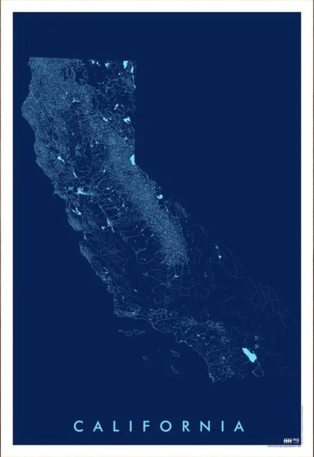
California State Rivers / Hydrology Map
California State Rivers / Hydrology Map
Couldn't load pickup availability
Share
Flowing with adventure and packed with Golden State charm, this California State Rivers / Hydrology Map turns waterways into stunning wall-worthy art. From the crashing Pacific coastline to the winding Sacramento and San Joaquin River systems, this eye-catching print brings California’s legendary landscape to life in vivid blue monochrome style.
Printed on heavy fine paper in a versatile 13" x 19" format, this detailed map showcases California’s rivers, streams, lakes, reservoirs, and shorelines with clean artistic precision. Trace the lifelines that fueled the California Gold Rush, powered booming agriculture in the Central Valley, and helped shape cities from San Francisco to Los Angeles. Geographic highlights include the mighty Sierra Nevada range and the iconic Lake Tahoe region, making this piece both educational and visually striking.
Perfect for map lovers, outdoor enthusiasts, educators, or anyone obsessed with California geography, this hydrology map adds a modern, sophisticated touch to homes, offices, cabins, and classrooms while celebrating the waterways that define the Golden State.
SKU: SKU:PMGCARN01
View full details