Benchmark
California Road & Recreation Atlas by Benchmark Maps
California Road & Recreation Atlas by Benchmark Maps
Couldn't load pickup availability
Share
Discover California like a true trail lover—no cell service required! The California Road & Recreation Atlas by Benchmark Maps is your ticket to roam boldly, explore deeper, and never rely on glitchy online maps again. Whether you’re heading for the breathtaking Yosemite National Park or chasing hidden hot springs on dusty backroads, this atlas keeps you confidently on course.
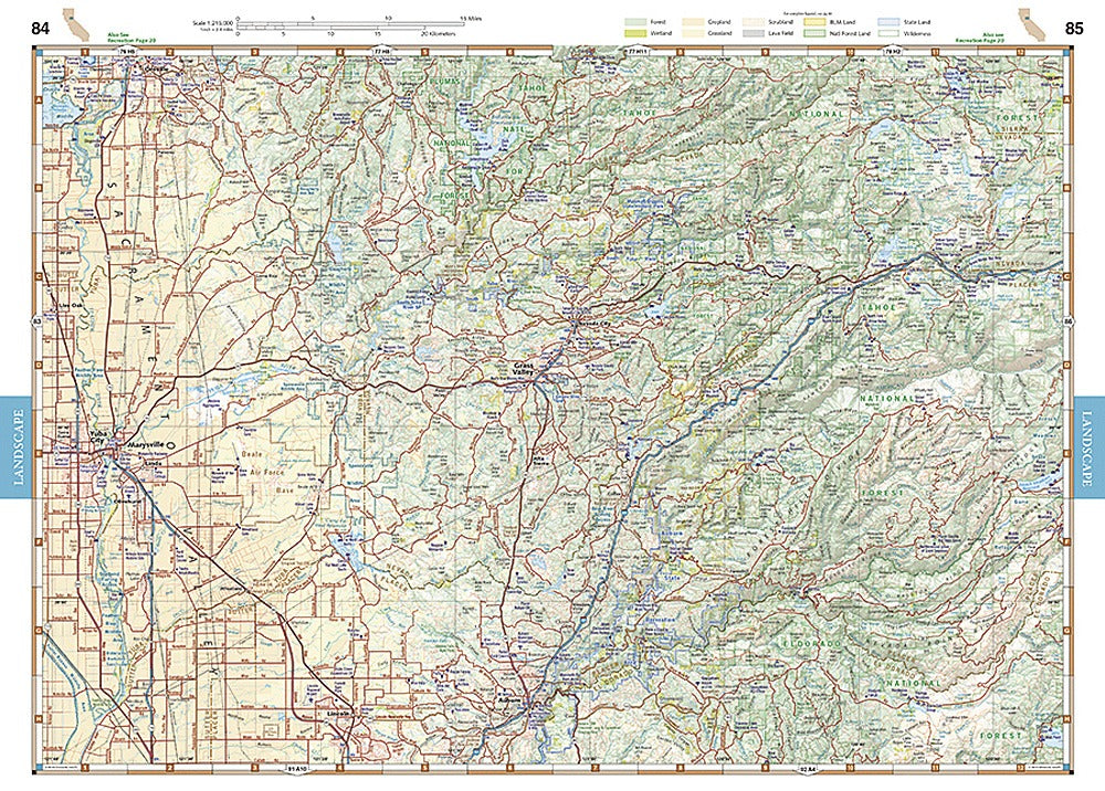
Benchmark’s signature approach combines two super helpful formats: "Landscape Maps"—packed with shaded relief and awesome landform detail so you instantly “read” mountains and valleys—and Recreation Map pages that use smart color-coding to show exactly what kind of land you’re on: State Parks, National Parks, BLM, USFS, wilderness areas, and more. Perfect for knowing where you can camp, play, and explore.
With 75 pages of field-checked road and trail detail, GPS grids, handy page overlaps, and updated land-cover data, it’s built for real-world adventure. Find campgrounds, scenic viewpoints, boat launches, hunting and fishing spots, golf courses, and key ranger offices faster than any app.
Big, durable, and easy to flip through at 11" x 15", this 144-page atlas is the essential companion to discovering every mountain peak, desert canyon, and stretch of golden coastline. Grab it—and go find your California.
SKU: SKU:NGSBENCAAT
View full details