International Travel Maps
British Columbia Coast & Alaska Inside Passage Travel Map
British Columbia Coast & Alaska Inside Passage Travel Map
Couldn't load pickup availability
Share
Discover the majestic beauty of the British Columbia Coast and Alaska Inside Passage with ITMB's latest double-sided travel map. This comprehensive map spans the stunning Pacific Ocean coastline from the bustling Seattle area all the way to the serene Glacier Bay National Park.
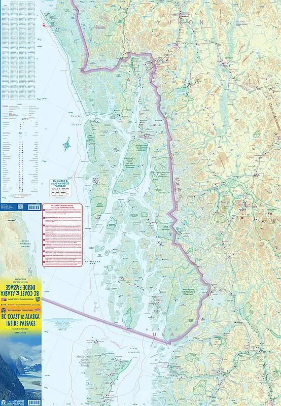
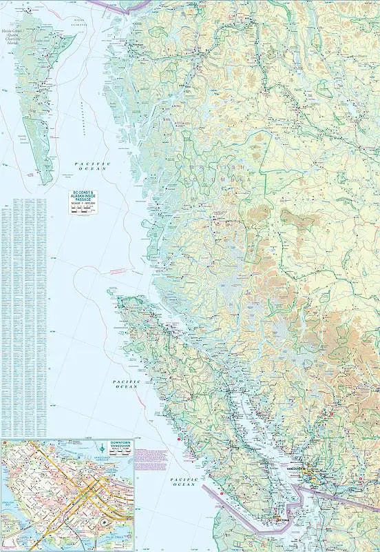
One side of this Inside Passage Travel Map highlights the Canadian portion, from the charming city of Victoria up to the enchanting Queen Charlotte/Haida Gwaii islands. Ferry routes and favored cruise ship paths are clearly depicted, guiding travelers through this scenic maritime corridor. The map also showcases the rugged splendor of the Coastal Mountain Range, offering a glimpse into the awe-inspiring landscapes that define this region.
Flip the map to explore the intricate details of Alaska's Panhandle. This area, a series of islands nestled north and west of Canada, is a haven for cruisers. Every park and cruise line route is meticulously charted, ensuring an unforgettable journey through this pristine wilderness. Noteworthy sites include the historic Skagway, a gateway to the Klondike Gold Rush, the awe-inspiring Mendenhall Glacier near Juneau, and the spectacular Glacier Bay National Park, which extends well beyond its famous bay.
An intriguing feature shown on the map is the depiction of the Canadian border at the top end of Glacier Bay, a remnant of early 20th-century boundary agreements, now marked a kilometer-long stretch of beach revealed the glacier's retreat.
Designed for travelers, the legend includes detailed classifications of roads, rivers, lakes, national parks, airports, points of interest, highways, and main roads. With its practical 27" x 39" size, this map is an essential companion for anyone exploring the breathtaking Pacific Northwest coastline
SKU: SKU:ITMBCCAKIP
View full details