National Geographic
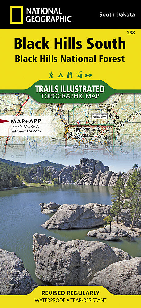
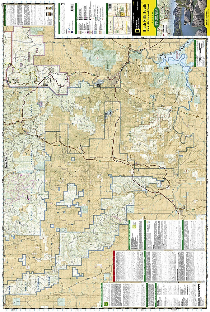
Black Hills National Forest (South) Trails Illustrated Topo Map #238
Black Hills National Forest (South) Trails Illustrated Topo Map #238
Couldn't load pickup availability
Share
Discover the rugged beauty of South Dakota’s Black Hills with National Geographic’s Trails Illustrated Topo Map #238 — Black Hills National Forest (South). This expertly crafted map is your ultimate guide to top attractions like the iconic Mt. Rushmore National Memorial, the mysterious Wind Cave National Park, and the stunning Custer State Park.
Steeped in rich history, the Black Hills were sacred to Native American tribes and later drew explorers and miners during the Gold Rush era. The map covers the southern Black Hills region, featuring detailed, color-coded trails like the Centennial and George S. Mickelson Trails, along with National Recreation Trails. Navigate easily with contour lines, elevations, and water features, plus hundreds of forest roads and OHV routes.
Durable and waterproof, this map is perfect for hikers, bikers, and adventurers seeking campgrounds, scenic overlooks, and wildlife preserves. Explore with confidence and immerse yourself in the natural and cultural wonders of the Black Hills!
SKU: SKU:TRA238
View full details