1
/
of
2
National Geographic
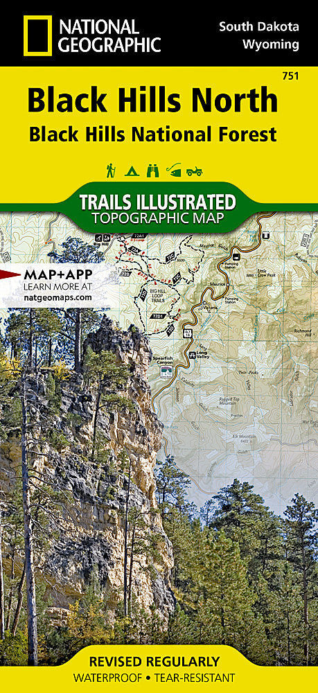
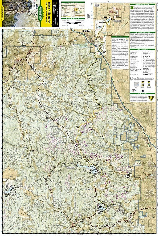
Black Hills National Forest (North) Trails Illustrated Topo Map #751
Black Hills National Forest (North) Trails Illustrated Topo Map #751
Regular price
$14.95 USD
Regular price
Sale price
$14.95 USD
Unit price
/
per
Couldn't load pickup availability
Share
Discover the breathtaking beauty of the Black Hills National Forest (North) with National Geographic’s Trails Illustrated Topo Map #751—your ultimate guide to this outdoor paradise.
Explore iconic attractions like the stunning Roughlock Falls, the shimmering Pactola Reservoir, and the scenic Spearfish Canyon Byway, all nestled within the rugged northern Black Hills of South Dakota. Rich in history, the area includes Fort Meade Recreation Area, once a key military post during the Indian Wars. This expertly crafted map highlights popular trails such as Eagle Cliffs and Beaver Creek, plus the famous Centennial and George S. Mickelson Trails, perfect for hiking, biking, and OHV adventures.
Featuring shaded relief, contour lines, and detailed forest roads, it helps you navigate safely and confidently. Printed on durable, waterproof paper with a full UTM grid, this map is a must-have for adventurers ready to experience the diverse landscapes, lakes, and wildlife of Black Hills National Forest.
Articles
SKU: SKU:TRA751
View full details