National Geographic
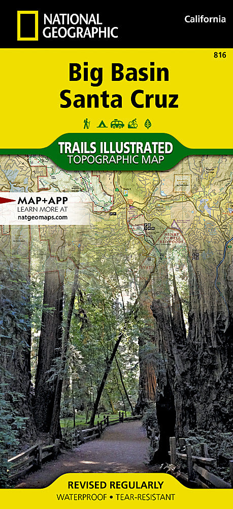
Big Basin / Santa Cruz Trails Illustrated Topographic Map #816
Big Basin / Santa Cruz Trails Illustrated Topographic Map #816
Couldn't load pickup availability
Share
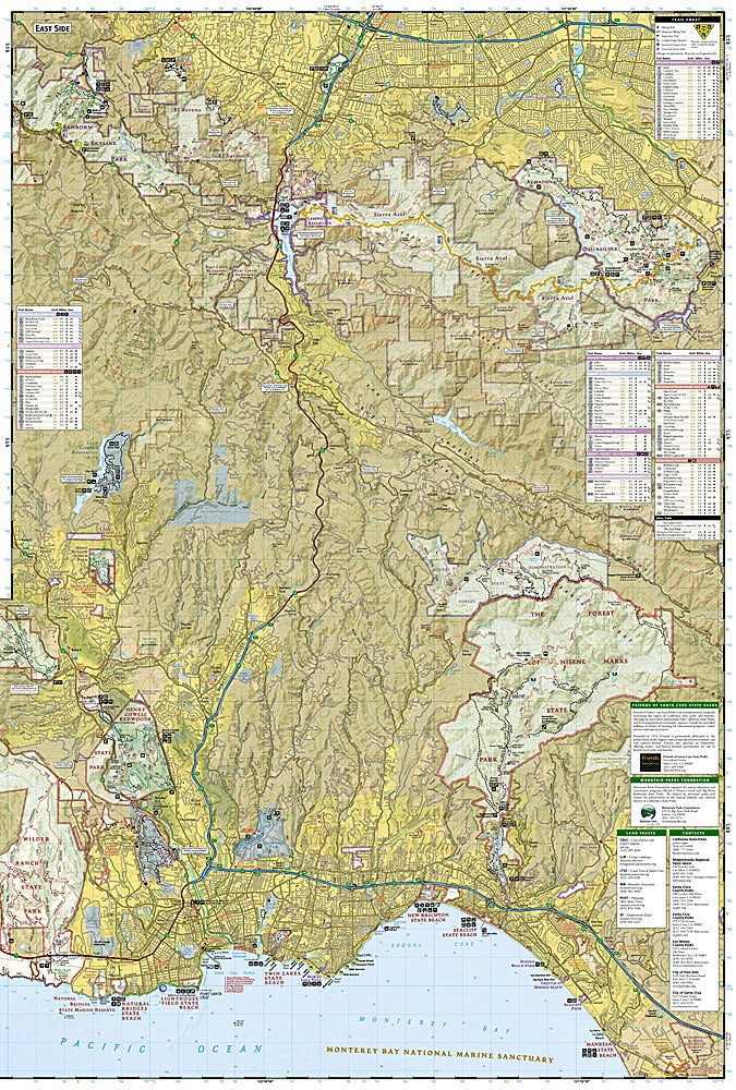
National Geographic’s Big Basin / Santa Cruz Trails Illustrated Topographic Map #816 is your ultimate guide to exploring California’s first state park and its surrounding wonders. Covering the towering redwoods of Big Basin Redwoods State Park, the serene trails of The Forest of Nisene Marks, and the historic coastal beauty of Wilder Ranch, this map puts the region’s most spectacular destinations at your fingertips. Established in 1902, Big Basin is steeped in history, preserving some of the last remaining old-growth coastal redwoods.
The map details hundreds of miles of hiking, biking, and equestrian trails, with mileages, elevation contours, and recreation icons for quick reference. Discover fishing at Loch Lomond, scenic views above Lexington Reservoir, or beach access along the Pacific Coast. Waterproof and tear-resistant, it’s built for real-world adventures. Whether you’re camping beneath the redwoods, surfing the coastline, or simply soaking in the natural beauty, this map ensures you never miss a highlight.
- 1" = .63 mile / 1cm = .4km
- Contour 50 feet
- Waterproof
SKU: SKU:TRA816
View full details