Red Maps
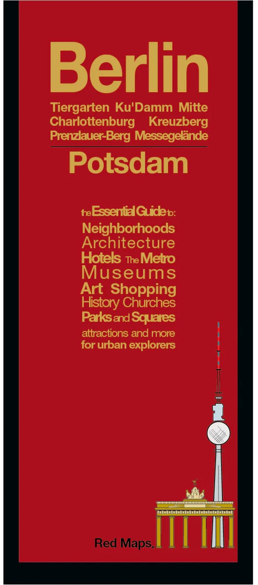
Berlin City Center Street Map by Red Maps
Berlin City Center Street Map by Red Maps
Couldn't load pickup availability
Share
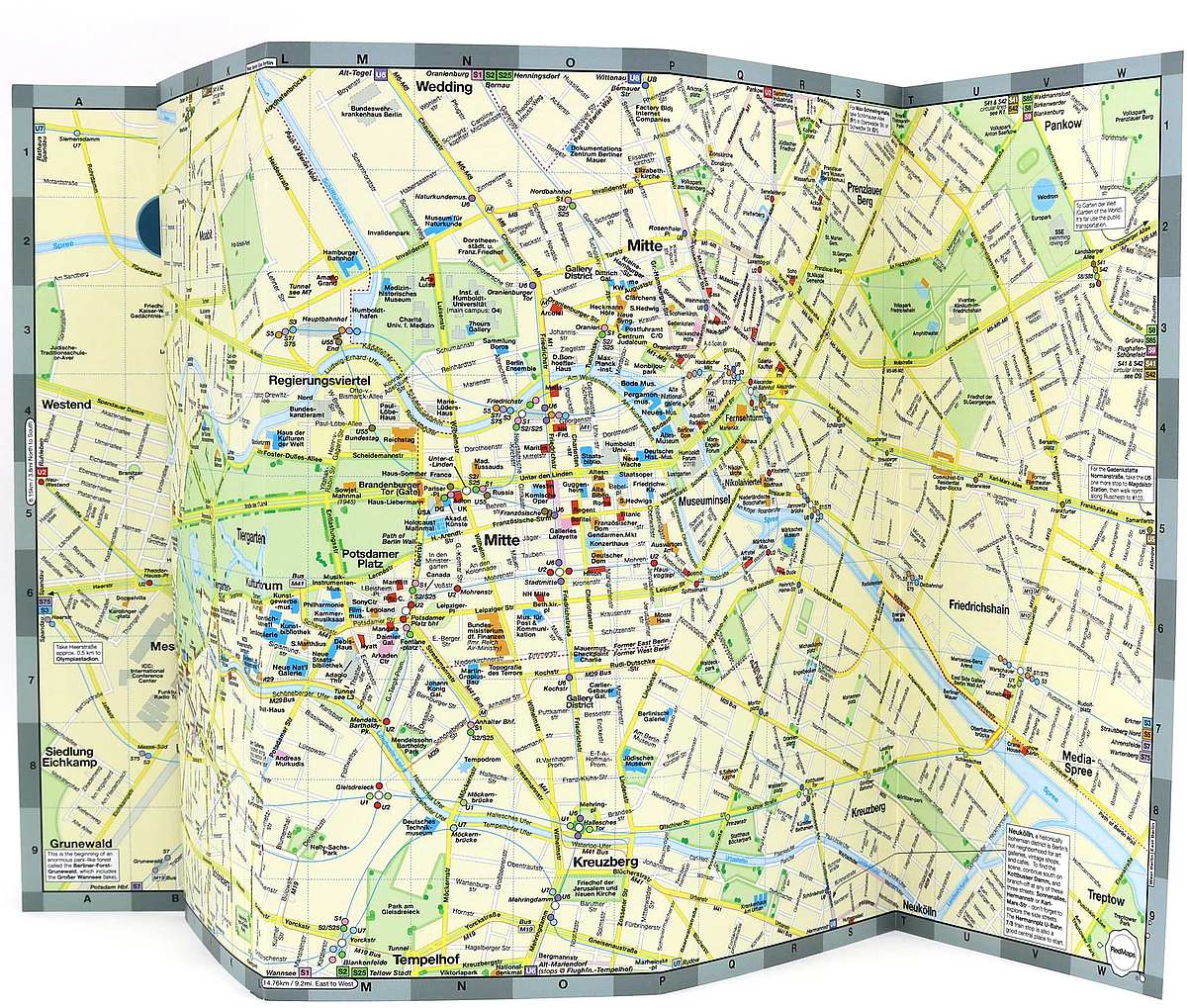
Explore Berlin with confidence using the Berlin City Center Street Map by Red Maps. This laminated, pocket-sized guide is your colorful key to unlocking the capital’s vibrant neighborhoods, from the historic charm of Museuminsel and the Regierungsviertel to the trendsetting vibes of Prenzlauer Berg and Kreuzberg.
Discover where Prussian history meets street art, stroll through Tiergarten, or find your way to Berlin Zoo and the Kulturforum. Metro lines and stations are clearly marked for easy navigation, and the map highlights must-see attractions like Brandenburg Gate, Checkpoint Charlie, and the Reichstag. Handy details include hotel suggestions, museum highlights, and spots for boutique shopping or a local schnitzel. You'll even get a bonus zoom-in map of Potsdam, just a short trip away.
Whether you’re visiting world-class museums, people-watching in Schöneberg, or shopping on Ku’damm, this map makes every step in Berlin more rewarding. Perfect for your pocket and ready for the adventure.
SKU: SKU:REDBERLIN
View full details