National Geographic
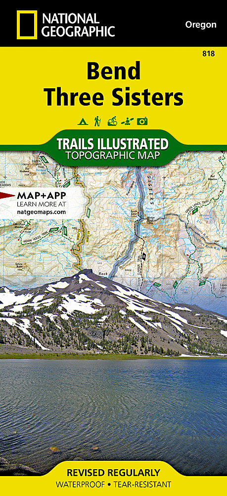
Bend / Three Sisters Trails Illustrated Topographic Map #818
Bend / Three Sisters Trails Illustrated Topographic Map #818
Couldn't load pickup availability
Share
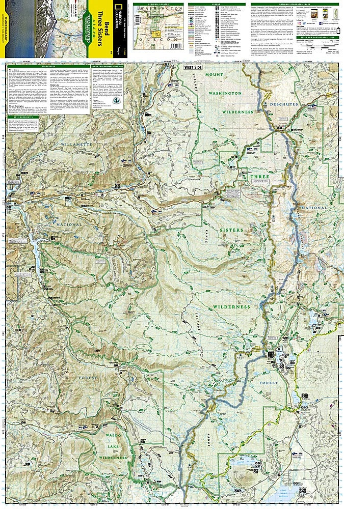
Explore Central Oregon’s breathtaking beauty with the Bend / Three Sisters Trails Illustrated Topographic Map #818 by National Geographic. Covering the stunning Three Sisters Wilderness, this waterproof, tear-resistant map highlights over 260 miles of trails, from the world-famous Pacific Crest Trail to the scenic Metolius-Windigo and French Pete Trails. Discover iconic attractions like the volcanic wonders of Newberry National Volcanic Monument, the sparkling expanse of Waldo Lake, and the dramatic vistas along McKenzie Pass.
Rich in history, the area’s volcanic peaks—North, Middle, and South Sister—were shaped by eruptions thousands of years ago, creating the diverse landscapes adventurers enjoy today. Whether hiking, camping, rock climbing, skiing, or driving the Cascade Lakes Byway, this detailed map offers contour lines, elevation data, mileage markers, and usage designations for safe and informed exploration.
Perfect for outdoor enthusiasts, the Bend / Three Sisters map ensures you won’t miss a single waterfall, hot spring, or scenic summit in Oregon’s high desert paradise.
SKU: SKU:TRA818
View full details