NOAA
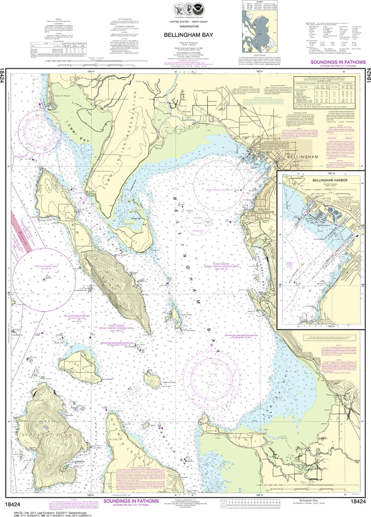
Bellingham Bay & Bellingham Harbor Nautical Chart #18424
Bellingham Bay & Bellingham Harbor Nautical Chart #18424
Couldn't load pickup availability
Share
Set your course for one of the Pacific Northwest's most scenic waterways! The Bellingham Bay & Bellingham Harbor Nautical Chart #18424 is a timeless classic that brings the beauty and maritime heritage of Washington's northern coast right into your hands.
Covering Bellingham Bay, bustling Bellingham Harbor, Fairhaven, Chuckanut Bay, Lummi Peninsula, Samish Bay approaches, and the surrounding shoreline, this detailed chart showcases a region loved by sailors, anglers, kayakers, and coastal explorers alike. Printed at a precise 1:40,000 scale and measuring a generous 28" x 39", it reveals navigation features, water depths, shorelines, landmarks, aids to navigation, and coastal details in crisp NOAA cartographic style.
Bellingham's waterfront has deep maritime roots dating back to the late 1800s, when the harbor flourished as a center for coal mining, fishing, shipping, and trade, helping shape the city's enduring connection to the sea.
(View more detail in nautical chart viewer)
Please note: For decorative and reference purposes only, NOAA has officially sunset traditional paper nautical charts. These legacy charts are no longer updated or approved for primary navigation.
SKU: SKU:NOS18424
View full details