1
/
of
2
National Geographic
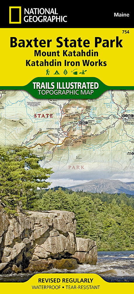
Baxter State Park Trails Illustrated Topographic Map #754
Baxter State Park Trails Illustrated Topographic Map #754
Regular price
$14.95 USD
Regular price
Sale price
$14.95 USD
Unit price
/
per
Couldn't load pickup availability
Share
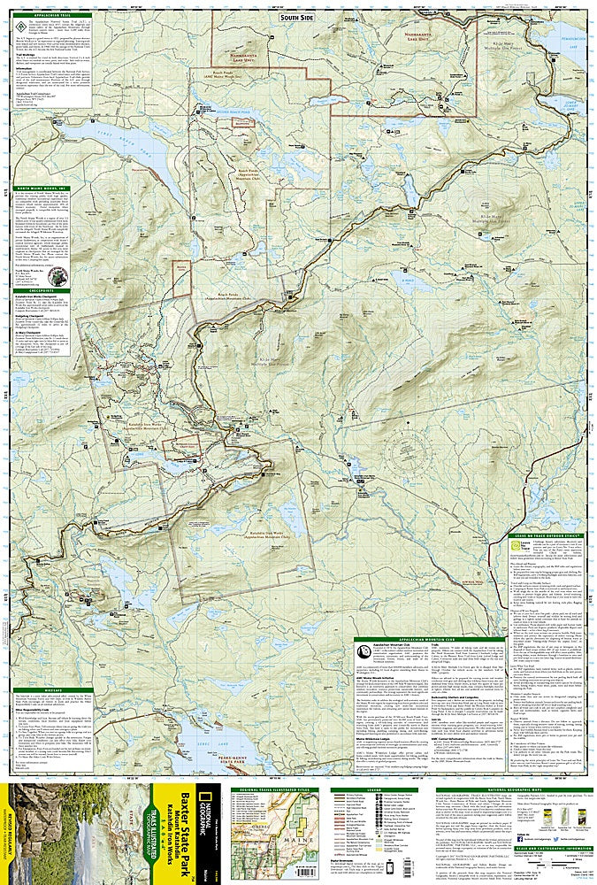
Explore the rugged beauty of northern Maine with the Baxter State Park Trails Illustrated Topographic Map #754 by National Geographic. This waterproof, tear-resistant map is your essential companion for navigating over 200 miles of trails through one of New England’s most beloved wilderness areas.
Home to Mount Katahdin, the northern terminus of the Appalachian Trail and Maine’s highest peak, the park offers stunning alpine views and deep forests teeming with wildlife. Visit Trout Brook Farm for scenic solitude, paddle the crystal-clear waters of South Branch Pond, or climb to the summit of Borestone Mountain for panoramic vistas. Created from land donated by former Governor Percival P. Baxter, this 209,000-acre park is a living tribute to Maine’s natural heritage.
With topographic detail, trail mileages, and recreation info like campsites and canoe routes, this map helps you plan the perfect backcountry adventure while keeping you on course in this remote, awe-inspiring landscape.
SKU: SKU:TRA754
View full details