National Geographic
Banff North Trails Illustrated Topographic Map #901
Banff North Trails Illustrated Topographic Map #901
Couldn't load pickup availability
Share
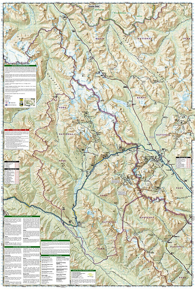
Discover the rugged beauty of the Canadian Rockies with National Geographic's Banff North Trails Illustrated Topographic Map #901. This waterproof, tear-resistant trail map is your ultimate guide to adventure across northern Banff National Park, parts of Yoho and Kootenay National Parks, and even the edge of Jasper.
Hike or bike past the turquoise waters of Lake Louise, explore the serene trails around Lake O’Hara, or drive the breathtaking Icefields Parkway, one of the most scenic highways in the world. This region’s dramatic landscapes were shaped by glaciers and once traveled by early explorers and First Nations peoples—an area rich in natural and cultural history. The map features labeled trails, campgrounds, backcountry cabins, fishing spots, and ski areas, all with accurate contour lines and elevation info.
Whether you're planning a multi-day trek or a scenic drive, this map makes it easy to experience the iconic wilderness of the Canadian Rockies. GPS-compatible with a full UTM grid.
SKU: SKU:TRA901
View full details