1
/
of
2
National Geographic
Balkans, The - Wall Map by National Geographic
Balkans, The - Wall Map by National Geographic
Regular price
$26.95 USD
Regular price
Sale price
$26.95 USD
Unit price
/
per
Couldn't load pickup availability
Share
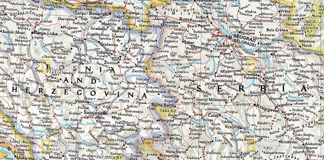
Explore the rich geography, culture, and history of southeastern Europe with National Geographic’s The Balkans Wall Map. This vibrant political map highlights thousands of place-names, international boundaries, and key infrastructure like roads, rail lines, and ferry routes.
From the rugged peaks of the Dinaric Alps to the sparkling coastlines of the Adriatic and Aegean Seas, the region’s diverse terrain is brought to life with stunning shaded relief and detailed bathymetric contours. Covering over a dozen countries—including Albania, Bulgaria, Romania, and the borderlands of Greece, Italy, and Turkey—this map also features national parks, water features, and elevations of major mountain summits. Counties of Hungary and Romania, administrative divisions of Bosnia and Herzegovina, and capital cities are clearly labeled, making it ideal for study or display.
Available in paper or laminated 30" x 23.5" formats, this classic-style wall map is perfect for travelers, educators, and anyone fascinated by the Balkans.
SKU: SKU:NGSBAL
View full details