Benchmark
Baja California Road & Recreation Atlas by Benchmark Maps
Baja California Road & Recreation Atlas by Benchmark Maps
Couldn't load pickup availability
Share
Hit the road and explore Baja California with confidence using the Baja California Road & Recreation Atlas by Benchmark Maps! Online maps can drain your battery, lose signal in remote areas, or simply leave you guessing—but this atlas keeps you covered with clear, detailed, field-checked maps that never run out of power. From Tijuana to Land’s End, every twist, turn, and hidden gem is laid out with precision.
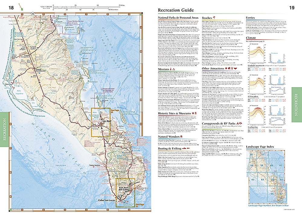
This atlas combines two powerful map styles: Landscape Maps highlight the rugged mountains, valleys, and detailed road networks with shaded relief and elevation tinting, making navigation easy whether you’re cruising highways or venturing down backroads. The Recreation Maps color-code public lands—including state parks, national parks, BLM lands, and Forest Service areas—so you can spot your next campsite, hiking trail, or fishing spot at a glance.
With 72 pages at 11" x 16" and scales of 1:300,000 and 1:1,000,000, the Baja California Atlas also includes campgrounds, RV parks, scenic attractions, boat launches, hunting and fishing info, golf courses, and GPS grids. The perfect companion for hikers, road trippers, and adventure seekers craving a deeper, offline connection to Baja.
SKU: SKU:NGSBENBAJA
View full details