Beacon Guidebooks
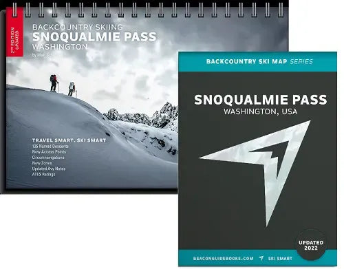
Backcountry Skiing Snoqualmie Pass Atlas & Map
Backcountry Skiing Snoqualmie Pass Atlas & Map
Couldn't load pickup availability
Share
Welcome to Snoqualmie Pass, the classic and most popular backcountry skiing and splitboarding spot within an hour of downtown Seattle. From legendary coulours and steep faces to mellow glades and desirable slopes, the 135 listed runs in this guidebook give adventurers of every level something to do.
The Backcountry Ski Atlas & Map for Snoqualmie Pass are your tool for safe and smart route-planning and decision-making.
About the Atlas:
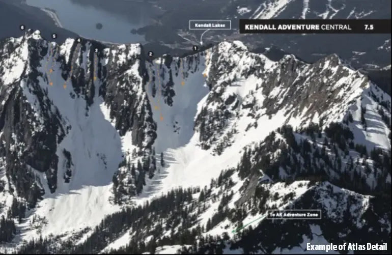
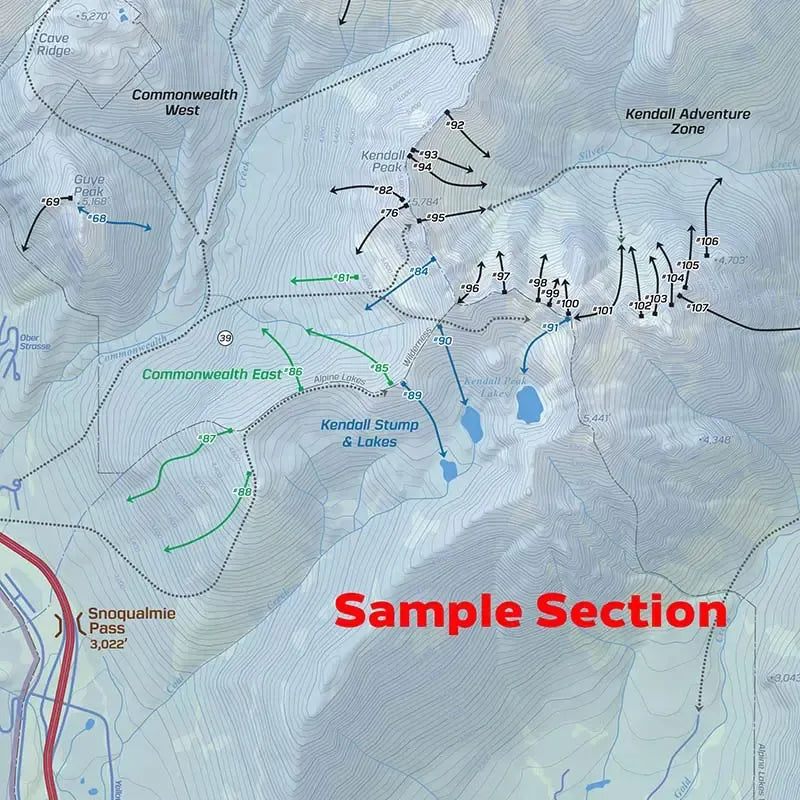
In this light weight and detailed Snoqualmie Pass Backcountry Ski Atlas you’ll find high-quality aerial photos marked with ascent and descent indicators, individual run descriptions, slope angles, aspect, Avalanche Terrain Exposure Scale ratings, parking and trailhead information and more. The second edition includes approaches, exits and circumnaviations as well as more coverage of Denny Creek, Alaska Adventure Zone, and the high routes. Matt Schonwald, professional ski guide and author, addresses each zone’s terrain as it relates to avalanche hazards. You’ll see references to slope angles, terrain traps, convexities, and other hazards to keep in mind on each given zone. Measures 5.5” x 8.5” and is a spiral-bound book.
SKU: SKU:BGBSPM
View full details