International Travel Maps
Atlantic Canada Travel & Reference Map by ITMB
Atlantic Canada Travel & Reference Map by ITMB
Couldn't load pickup availability
Share
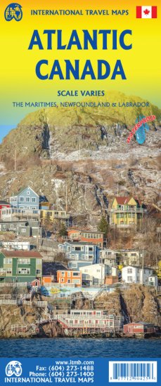
Discover the beauty of Atlantic Canada with ITMB’s double sided, folded Atlantic Canada Travel & Reference Map, the perfect companion for exploring this remarkable region. Side one features Nova Scotia, New Brunswick, Prince Edward Island, and Quebec’s Magdalen Islands at 1:800,000 scale, along with a handy list of the Top 10 Attractions. From the historic fortress of Louisbourg in Nova Scotia to the world’s highest tides at the Bay of Fundy in New Brunswick and the red sand beaches of Prince Edward Island, this map highlights some of the region’s most unforgettable destinations.
Flip to the second side to dive into Newfoundland and Labrador. A detailed inset showcases historic St. John’s, one of North America’s oldest cities, while St. Pierre et Miquelon adds an international touch. With clear road networks, national parks, airports, rivers, lakes, and points of interest, this 27" x 39" map is ideal for a grand circle journey through four fascinating provinces.
SKU: SKU:ITMATCAN
View full details