DeLorme
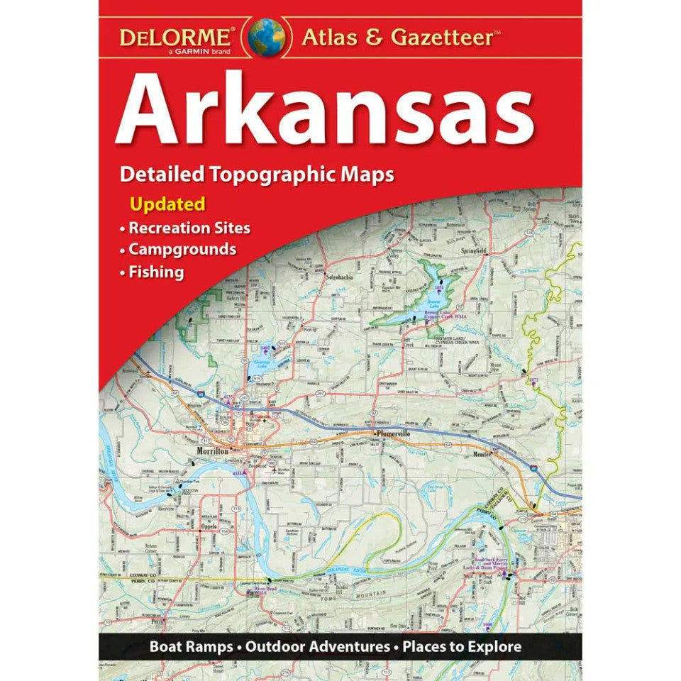
Arkansas Topographic Atlas & Gazetteer by DeLorme
Arkansas Topographic Atlas & Gazetteer by DeLorme
Couldn't load pickup availability
Share
Find your next favorite trail in the Natural State! The Arkansas Topographic Atlas & Gazetteer by DeLorme puts 45 pages of outdoor adventure at your fingertips—no cell signal, scrolling, or juggling unwieldy folded maps required.
From rugged Ozark trails to sparkling lakes and winding backroads, this detailed Arkansas atlas helps hikers, campers, anglers, and road-trippers explore with confidence. Full-color topographic maps reveal the lay of the land while pointing you toward trailheads, scenic drives, historic sites, boat ramps, fishing hotspots, recreation areas, and more. An extensive index makes finding your next destination a breeze, while latitude/longitude grids help you pinpoint your position with a GPS device.
Discover the spectacular Buffalo National River and explore the rugged beauty of the Ozark National Forest, two of Arkansas’s standout outdoor destinations. City inset maps and detailed maps of state lands make it easy to transition from urban stops to backcountry adventures.
Unlike online maps that depend on batteries and connectivity, this handy atlas keeps essential navigation details together in one convenient reference. Pack the DeLorme Arkansas Atlas & Gazetteer and take the scenic route through the Natural State!
SKU: SKU:DELAR
View full details