Rand McNally
Arkansas State Highway Folded Map by Rand McNally - Easy to Read
Arkansas State Highway Folded Map by Rand McNally - Easy to Read
Couldn't load pickup availability
Share
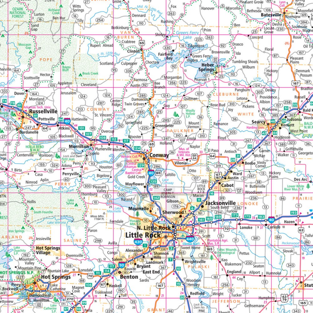
Hit the road in the Natural State with Rand McNally’s Easy to Read Arkansas State Highway Map — your reliable co-pilot for exploring every scenic mile! Forget the dead zones and screen glare; this classic paper map lets you plan, navigate, and discover Arkansas with confidence and clarity.
Featuring larger maps, bold type, and up-to-date cartography, you’ll find every Interstate, U.S., state, and county highway neatly laid out—plus parks, airports, and points of interest to fuel your next detour. From the mysterious depths of Blanchard Springs Caverns to the sparkling waters of Lake Ouachita, this map helps you uncover the lesser-known gems that make Arkansas unforgettable.
With an easy-to-use legend, detailed index, and mileage chart, it’s never been simpler to chart your adventure. Whether you’re road-tripping, camping, or chasing waterfalls, Rand McNally keeps you confidently on course—no Wi-Fi required.
SKU: SKU:RMCUSAR
View full details