DeLorme
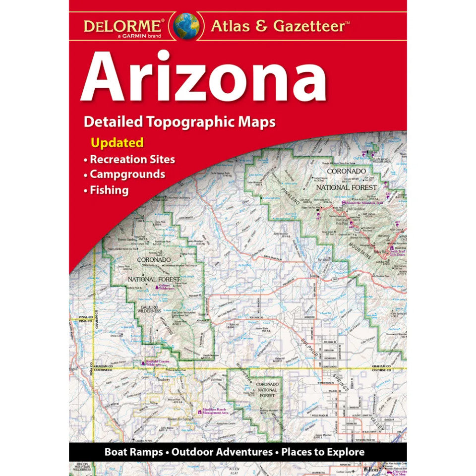
Arizona Topographic Atlas & Gazetteer by DeLorme
Arizona Topographic Atlas & Gazetteer by DeLorme
Couldn't load pickup availability
Share
Adventure is calling in the Grand Canyon State! Take your Arizona adventures off-screen and into the wild with DeLorme’s Arizona Topographic Atlas & Gazetteer, your go-to guide for discovering the trails, scenic drives, and hidden gems beyond the pavement.
Why rely on a tiny phone screen or wrestle with a stack of folded maps when you can spread out 68 pages of full-color topographic detail? This Arizona atlas makes planning your next outdoor adventure easier, whether you’re hiking rugged desert trails, exploring mountain forests, or chasing unforgettable views. Discover popular destinations like Sedona’s iconic red rocks and the spectacular Petrified Forest National Park, Arizona’s second and third most visited national parks and recreation destinations, respectively.
Packed with an extensive index, this backcountry companion pinpoints towns, historic sites, trailheads, recreation areas, boat ramps, fishing spots, and scenic routes. Latitude and longitude grids on every map work with your GPS, while handy insets cover major cities, the Grand Canyon, and state lands.
At 15.5 x 11 inches, this detailed Arizona Topographic Atlas & Gazetteer is a must-have for hikers, campers, road-trippers, and outdoor explorers ready to roam farther!
SKU: SKU:DELAZ
View full details