Rand McNally
Arizona State Highway Folded Map by Rand McNally - Easy to Read
Arizona State Highway Folded Map by Rand McNally - Easy to Read
Couldn't load pickup availability
Share
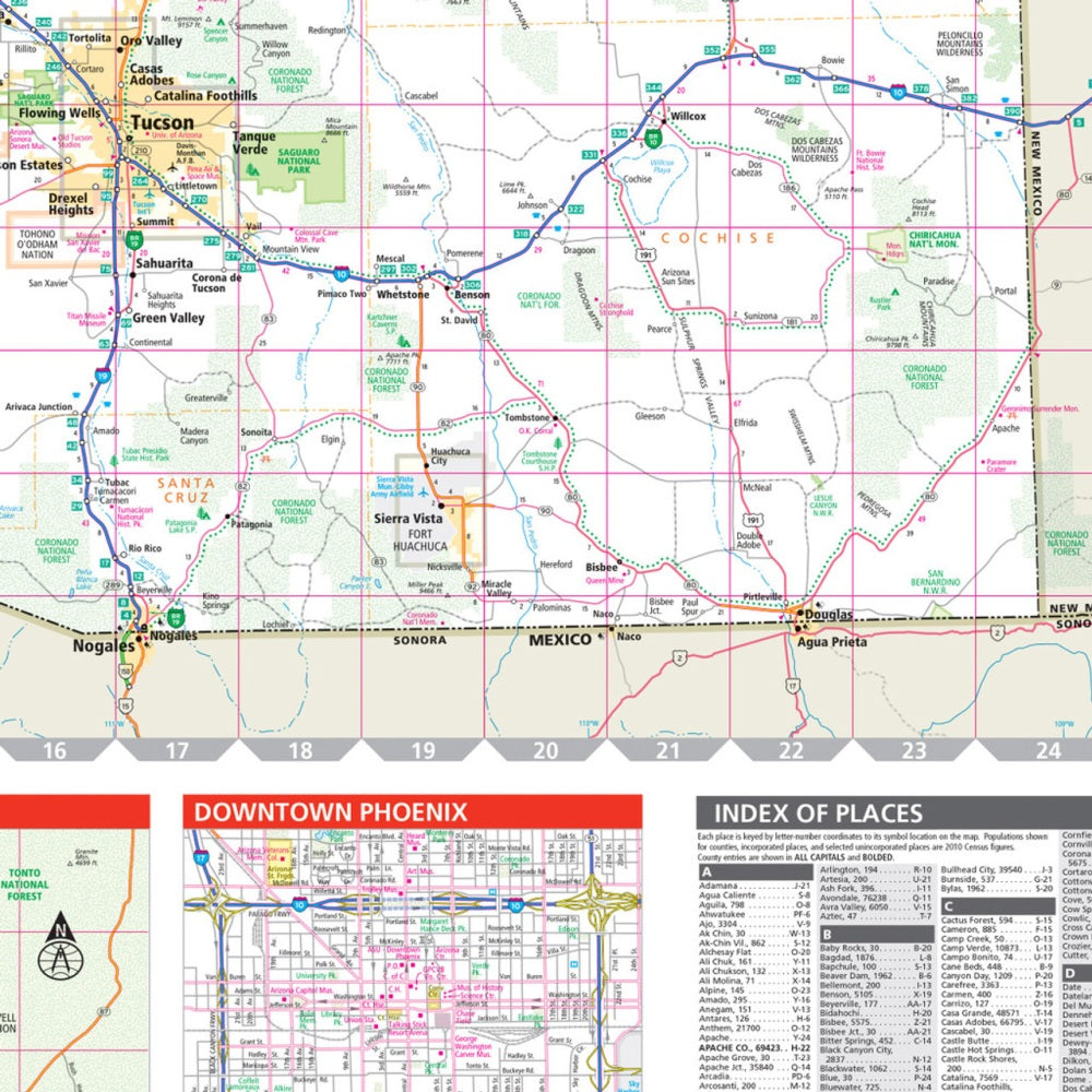
Hit the open road through the Grand Canyon State with the Arizona State Highway Folded Map by Rand McNally—your old-school road trip essential that never loses signal or runs out of battery! This easy-to-read, full-color map makes it a breeze to plan your desert adventures, from scenic drives along Route 66 to detours through the rugged Superstition Mountains.
Featuring clearly labeled interstates, highways, and county roads, plus parks, airports, and hidden gems, this map is a must-have for road trippers, RV travelers, and weekend wanderers. Want a lesser-known stop? Head to the otherworldly Chiricahua National Monument—nicknamed the “Wonderland of Rocks”—where stone spires and hoodoos create a hiking paradise few ever see.
With larger type, a detailed index, and trusted Rand McNally accuracy, this Arizona highway map makes navigation effortless. It’s reliable, foldable, and ready to ride shotgun on your next desert escape.
SKU: SKU:RMCUSAZ
View full details