Benchmark
Arizona Road & Recreation Atlas by Benchmark Maps
Arizona Road & Recreation Atlas by Benchmark Maps
Couldn't load pickup availability
Share
Lose yourself in Arizona’s stunning landscapes without losing your way! The Arizona Road & Recreation Atlas by Benchmark Maps is the ultimate companion for adventurers who want more than just a screen view. Unlike online maps, this atlas puts the state’s roads, trails, and public lands right at your fingertips—no signal required.
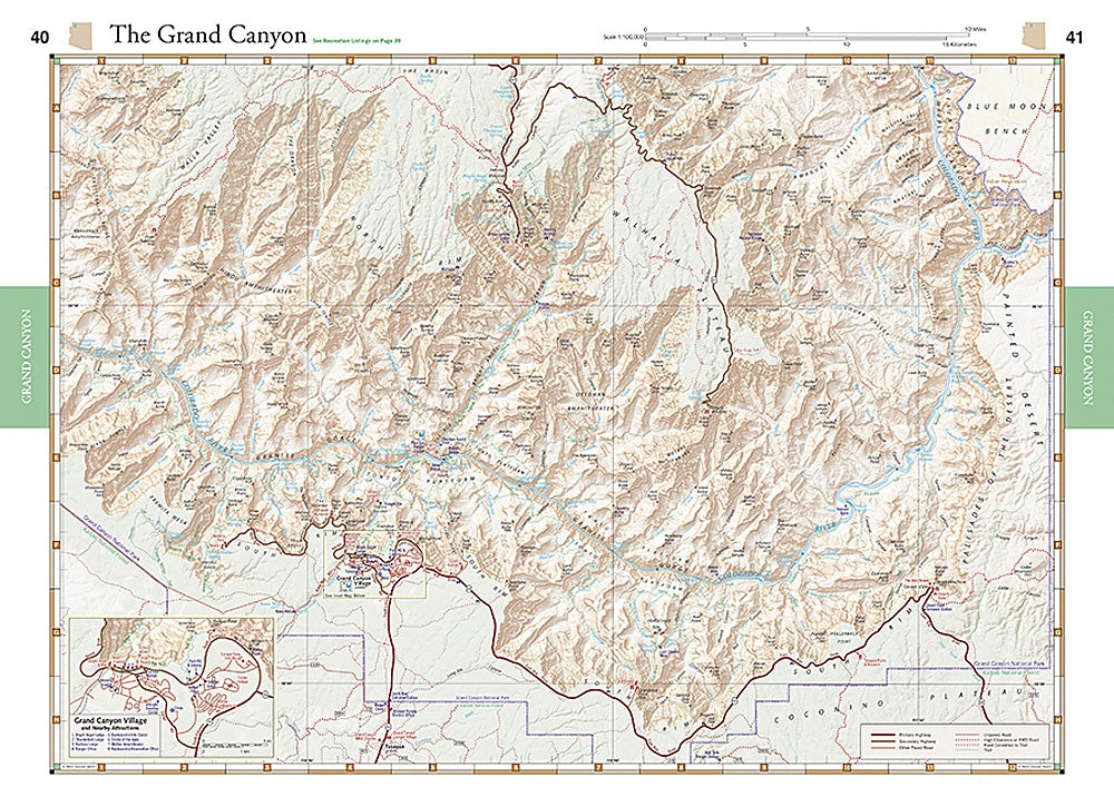
With two detailed map formats, this atlas makes navigation simple and enjoyable. The Landscape Maps feature shaded relief and elevation tints that clearly show mountains, valleys, and desert basins, alongside major roads, backroads, and detailed road classifications. The Recreation Maps use color coding to highlight public lands, including National Parks, State Parks, wilderness areas, BLM lands, and U.S. Forest Service boundaries, even showing private inholdings.
Field-checked for accuracy, the atlas includes GPS grids, generous page overlap, and 108 pages of high-resolution mapping. The accompanying Recreation Guide details campgrounds, scenic spots, boat launches, hunting and fishing info, and more. At 11" x 15", with scales of 1:285,000 and 1:1,000,000, it’s perfect for planning trips from the Grand Canyon to Sedona and beyond. Explore Arizona with confidence and see every trail, canyon, and vista the state has to offer.
SKU: SKU:NGSBENAZAT
View full details