

National Geographic
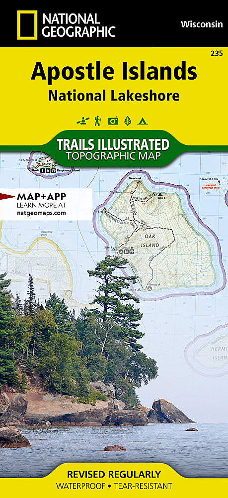
Apostle Islands Trails Illustrated Topographic Map #235
Apostle Islands Trails Illustrated Topographic Map #235
Couldn't load pickup availability
Share
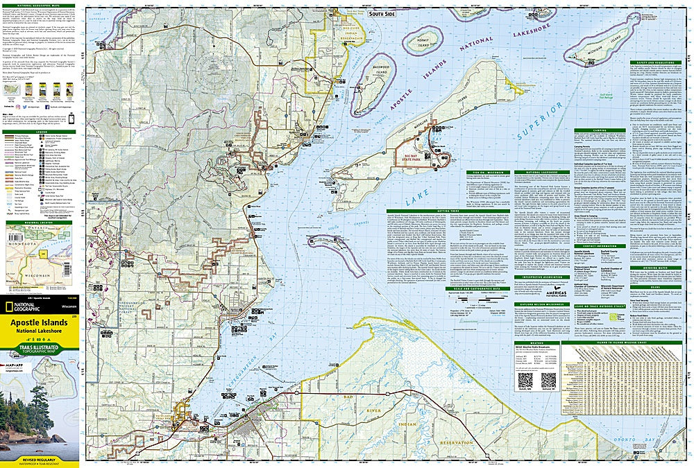
Explore one of the Midwest’s most captivating destinations with National Geographic’s Apostle Islands Trails Illustrated Topographic Map #235. Covering 21 islands and 12 miles of stunning Lake Superior shoreline, this waterproof, tear-resistant map is your ultimate guide to adventure in Apostle Islands National Lakeshore.
Paddle through the dazzling sea caves at Sand Island, tour the historic Raspberry Island Lighthouse, or hike the scenic trails of Stockton Island—home to one of the Great Lakes’ finest beaches. Located off Wisconsin’s Bayfield Peninsula, this area blends natural splendor with rich history, including Ojibwe heritage and 19th-century fishing villages. The map includes Red Cliff Indian Reservation, Madeline Island, and parts of Chequamegon-Nicolet National Forest, and details everything from hiking trails and marinas to bathymetric lake contours and island-to-island distances.
Whether kayaking, camping, or snowshoeing, this map equips you with the insight and precision needed to navigate this spectacular stretch of Lake Superior.
SKU: SKU:TRA235
View full details
